4th Workshop on geogames and geoplay co-organized by UJI Geo-C

The 20th international conference on geographic information science – Agile 2017 hosted at Wageningen, The Netherlands, was the perfect space to exchange and discuss ideas about games, playfulness, gamification and geospatial technologies at the Fourth workshop on geogames and geoplay co-organized by GEOTEC (Geo-C) and the Geogames team from University of Bamberg, the thematic focus defined for the workshop was “Gamifying the Open Smart City”.

The Five selected papers explored a wide range of concepts related to this research field, from the use of the serious games approach for gathering critical spatial thinking, an agent-based simulation framework for geogrames, to three different available geogames (NavApps, Smart Beetles, and BioDiv2Go). The hands on session allowed to shape one experiment from the GEO-C (www.geo-c-eu) european project aiming to promote cycling as a feasible commuting mode combining gamification and geographical information sciences.

Continue reading

GEO-C @CeDEM2017- E-participation in the Urban Planning Process: Challenges to be addressed by ICT

The proceedings of the 7th international conference for E-democracy and open government held at the Danube University Krems 17-19 May 2017 (CeDEM2017). It invites individuals from academic and applied background as well as business, public authorities, NGOs, NPOS and education insititution to submit papers and join the discussion on topics and issues related to e-democracy and open government.
GEO-C organized an interactive workshop by using lego blocks to create self-awareness about the challenges of citizens participation through ICT in urban planning. During workshop session Lego blocks were used to represent different scenarios of public participation in the urban planning process, first at the individual level and then in groups. With the guidance of the organizers, the attendees’ discussion were mainly around the questions as follows:
  1. What are the main challenges in e-participation and smart cities to engage in the urban planning process?
  2. How ICT can facilitate citizens participation in complex scenarios that demand discussion, debate, and finally decision-making?
  3. What do people expect from e-participation platforms?
Some pictures are attached from the day:

Research colloquia: “Running a virtual, cloud-based company for sensor-based air and water monitoring”

Dr. Edward Pultar is visiting one week in May. He is a former visiting scholar at UJI and founding member of Valarm.net (http://www.valarm.net/), an entirely cloud-based company managed together with his brother. How can a self-funding, bootstrapped company, manage international customers around the world? What is their business model? What is the trick? VAlarm is basically a software as a service company. Software is the main product. They sometimes sell the hardware solutions, because some customers demand a single provider to manage sw&hw together. In other cases, they create software tools, APIs and real-time dashboards for existing hardware when customers already possess their sensors. So, Valarm provides cloud-based software tools for remotely monitoring industrial IoT systems and sensors. Look at the customer stories (http://www.valarm.net/customer-stories/) for really real-life IoT deployments and successful use cases.

Continue reading

GEOC @ GEOTAG 2017

Five researchers of the GEO-C team and one from the SenseBox team attended GEOTAG 2017 which took place in Münster on May 17, 2017. GEOTAG was visited by around 300 participants and gathered various institutions (companies, city council, university) from Münsterland. The theme of the day was “Digital Society – Digital Transformation” (“Digitale Gesellschaft – Digitaler Wandel”). GEO-C presented the Open City Toolkit and set up a stand where participants gave feedback about the use of open data for private companies and products that open smart cities could find interesting. Some pictures from the day:

Auriol Degbelo’s presentation on the Open City Toolkit

Group picture with posters from Diego Pajarito (ESR07), Shivam Gupta (ESR08), Mehrnaz Ataei (ESR13) and the SenseBox roll up

We thank the visitors of our stand for their feedback!

GEO-C student wins best poster award in AGILE 2017 #agilewag2017

From May 9 to May 12, 2017, in Wageningen, The Netherlands, the 20th AGILE conference took place. This year’s team: societal geo-innovation.

AGILE 2017 is the annual international conference on Geographic information science of association of geographic information laboratories in Europe. This event, organized by Wageningen University and the remarkable local committee, was an excellent opportunity to discuss the social impact of geo innovation over the past 20 years, and the most exciting and challenging topics for the next 20 years in GIScience.

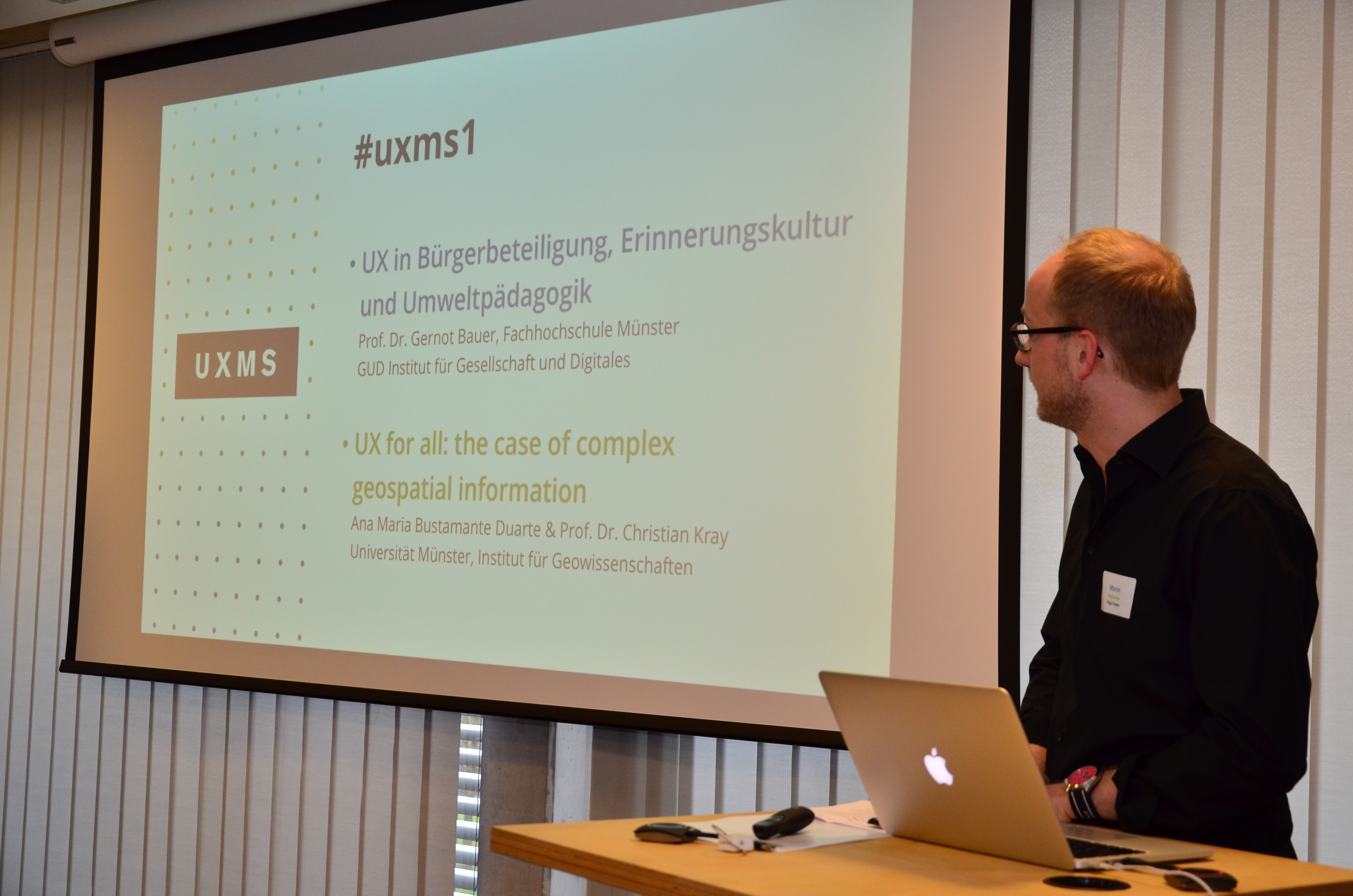
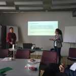
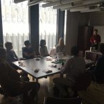
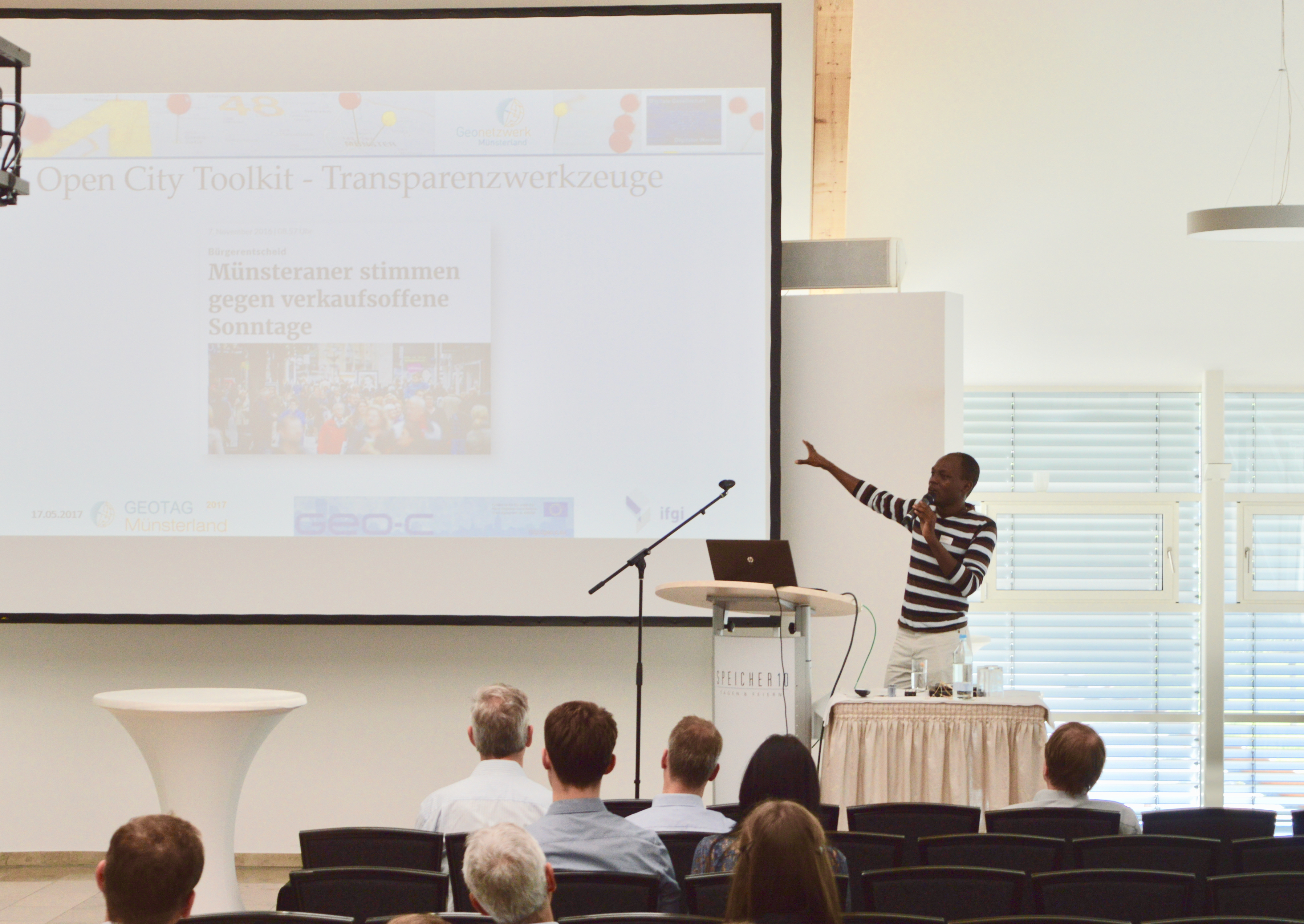
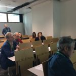
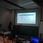
With more than 200 participants AGILE 2017 had pre-conferences workshops, parallel sessions, keynote sessions, and posters session, about the most significance GIScience topics such as VIG, Data Quality, Spatial analysis, Open Data, GeoGames, smart cities and others.

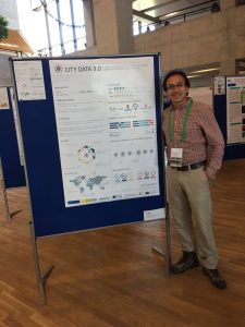
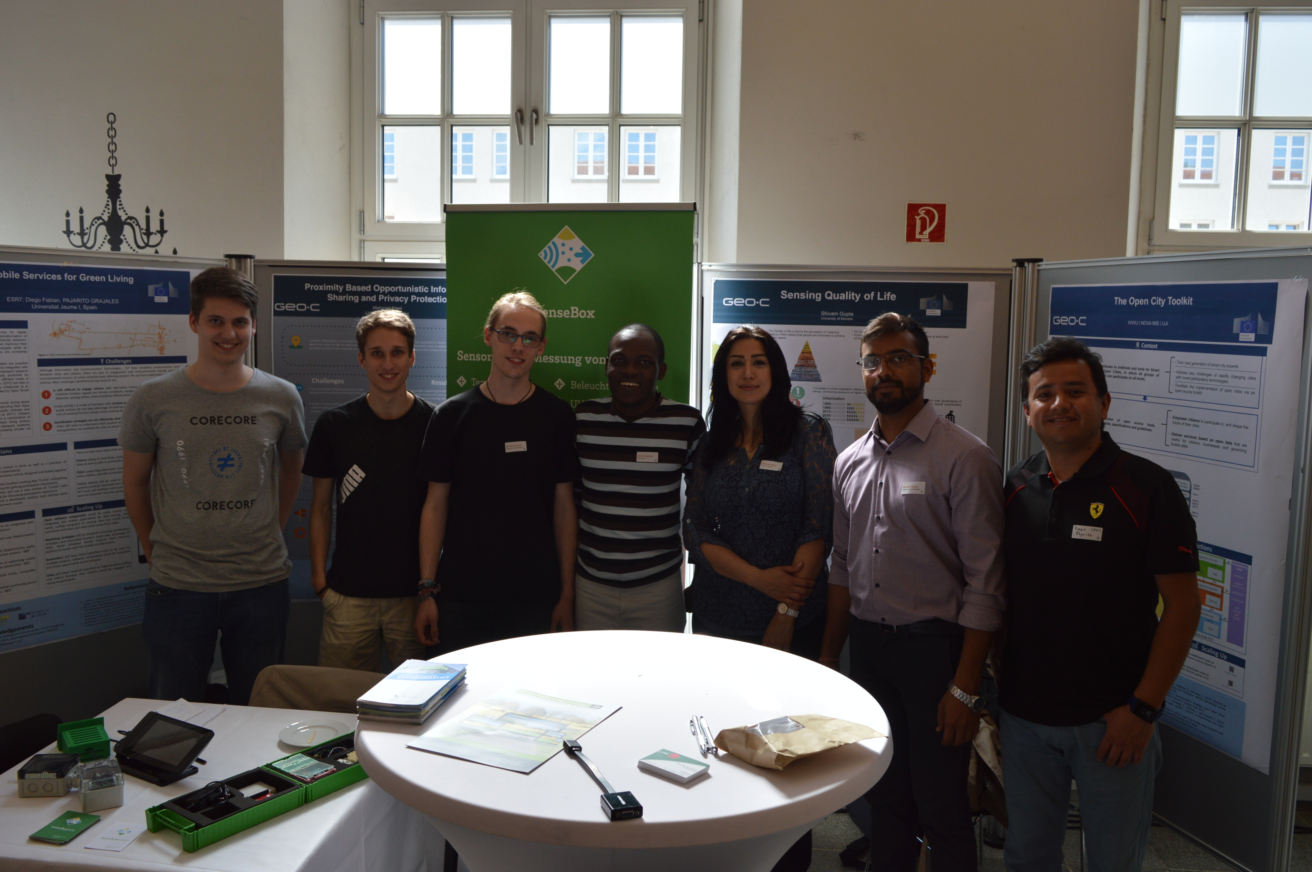
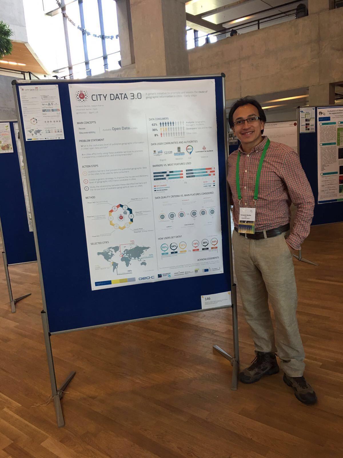
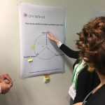
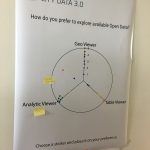
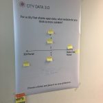
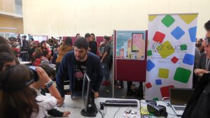
The poster session had more than 30 posters related to different topics. GeoC UJI was part of this event with two posters. Citizense – A generic user-oriented participatory sensing framework by  Manh Khoi Ngo, Luis Rodríguez and Sven Casteleyn and City Data 3.0 – A generic initiative to promote and assess the reuse of geographic information in cities – Early steps by Fernando Benitez and Joaquin Huerta. We are proud to say that the latter won the best poster award at Agile 2017!

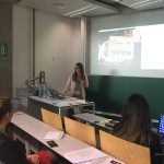
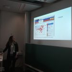
City Data 3.0 poster presented the preliminary results of research related to the reuse and discoverability of available open data in cities. This poster shows the barriers identified in four selected cities, main data quality criteria considered by data consumers and the most valuable services and formats used for developers and analysts in Bogota, Cali, Medellin, and Valencia.


More GEO-C contributions in AGILE 2017:

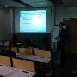
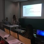
  • Short Paper presentation: One tool to spatialize all – sense of place, social capital and civic engagement by Albert Acedo, Germán Martín Mendoza Silva, Marco Painho and Sven Casteleyn
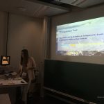
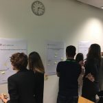
  • Organization of 5th Open Data for Open Cities participatory workshop, Joaquin Huerta, Fernando Benitez, Mohammad Mehdi Moradi, Pau Aragó Galindo
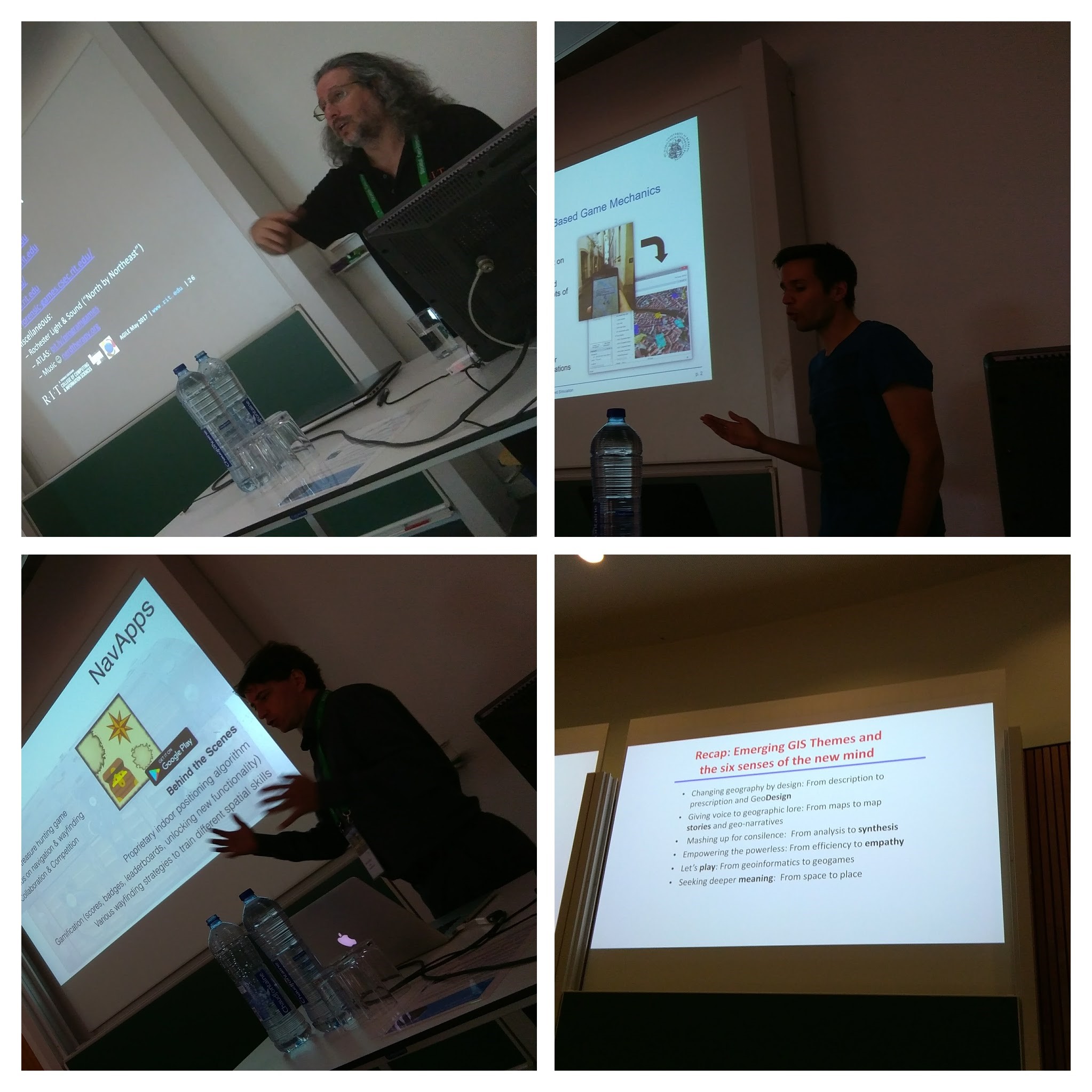
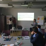
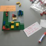
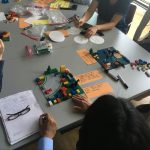
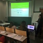
  • Organization of Agile Workshop on Geogames and Geoplay, Christoph Schlieder, Miek Gould, Diego Pajarito, Ola Ahlqvist, Thomas Heinz, Peter Kiefer, Vyron Antoniou

GEO-C students organised 5th Open Data for Open Cities participatory workshop at Agile 2017 #agilewag2017

From May 9 to May 12, 2017, in Wageningen, The Netherlands, the 20th AGILE conference took place.

As part of the pre-conference program, GEO-C candidates  Mehdi Moradi (Esr12) and Fernando Benitez (Esr11) organized the 5th Open Data for Open Cities participatory workshop, which presented an opportunity to discuss about reuse and discoverability of open data in cities. Topics such as Crime, Disaster Management, Spatial point process and geo-portals assessment were part of the selected papers and a set of short presentations.

How data user barriers can impact the usefulness level of open data was the discussion with experts of Open Data during this workshop.  Participants included Professor Bastian van Loenen, associate professor in open data in the Department of Architecture and The Built Environment at Delft University of Technology, and Heleen Vollers, one of the authors of the last analytic report of European Data portal, who was the KeyNote speaker. Her talk about barriers and benefits of working with Open Data brought participants new insights about how several European countries and enterprises are using open data to improve their innovation level, as well as how cities should deal with barriers in data producer or consumer perspective. For more information about this presentation, you can check the workshop’s website.

The afternoon session was more interactive, using wallpapers and some findings of City Data 3.0, participants covered three questions regarding reusing and finding open data.

  • Is the downloadable formats the effective way to promote the reuse of open data?
  • What should be the precise and efficient way to display data in open data portals?
  • Moreover, what should be the way to make the open data in cities available: through SDI portals, Open Data portals or both?

The last part of Open Data for Open Cities workshop was a point process analysis using the new methodology covered in the Ph.D. research of Mr. Moradi. Using Open Data from Medellin City in Colombia, related to car accidents, the last session was used to calculate an intensity network along streets of Medellin city. For more information about the methodology and steps to getting the results follow this link.

UJI shows the GEO-C project to two thousand students during the FIRAUJICIENCIA ’17

On April 6th, GEO-C UJI team (GEOTEC) has participated in the third edition of FIRAUJICIENCIA. There, we had the opportunity to show our project to more than around two thousand students and teachers. More than sixty workshops have filled the sports hall of the Universitat Jaume I with science. Also, GEOTEC showed other projects, like Sucre4Kids, where the students learn to program using electronic components and a visual programming language.
The scientific fair has gathered at the Universitat Jaume I students and lecturers from more than thirty educational centres throughout the province who have had the opportunity to learn more about dinosaurs, urban waste, electromagnetism, meteorites, water or robots.

GEO-C ESRs developed a map survey at Lisbon’s Freguesia de São Domingos de Benfica meeting


Yesterday, Albert Acedo (ESR04) and Manuel Portela (ESR15) developed a survey as a part of their joint research with the local community of San Domingos de Benfica, a neighbourhood in Lisbon. The meeting was organized by the Junta de Freguesia de Domingos de Benfica and the NGO CDI Portugal for the promotion of the participatory budget.

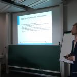
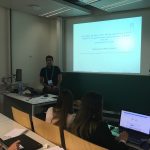
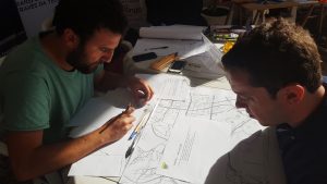
The survey was the first step to test how dwellers of the neighbour can perceive and feel their sense of place and social capital by mapping themselves and their social groups in a local cartography. The next steps will include a digital application that Acedo is developing and will be released next month, and an ethnographic experience that will be held with same participants next week.

The outcome of the research, is meant to provide some insights on how neighbours can improve their quality of live by enhancing their neighbourhood sense of belonging, emotional engagement, and civic participation.


Geo-C at UXMS meetup

On March 29, 2017, it was held at ConTerra the first UX meetup (UXMS) in Münster (Germany). Two of the GEO-C team members from the University of Münster were part of the day with the talk called “UX for all: the case of complex geospatial information.” We discussed how to generate visualizations of geospatial information, as well as interactions with it through more inclusive and participatory approaches. As part of this, we introduced to the audience the overall goal of the GEO-C project and one of its research lines related to the adaptation of open geospatial data visualizations and interactions to support forced displaced population when arriving at an unfamiliar city for their resettlement process.