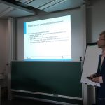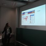
Another participatory workshop led by Geo-C UJI in Valencia city in collaboration with the Open Government and Transparency office of City Hall.
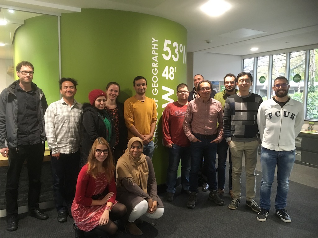
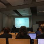
Over 23 participants from several backgrounds and entities met up in the innovation lab “Las Naves” located in the east of Valencia. This half-day participatory workshop counted with an extended programme around user-focused metadata and reusability level of open geographic data in cities.
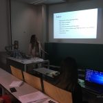
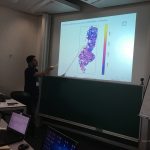
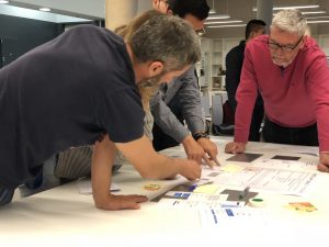
Four activities were part of this workshop. The initial activity was about to rank a set of recommendations, defining a list of priorities that any open data authority should consider to improve the reuse level. After a small discussion around what should be the reusability strategy, participants were randomly located to evaluate the metadata tab in two Valencian portals. The second activity was about assessed six criteria around the available metadata in the open data portal and SDI Valencian portal. Once the metadata evaluation was done, the assessment of the whole portal was part of this activity. Participants assigned a determined score in criterions such as time-searching, API accessibility, Terms of use and others.
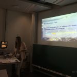
Two final activities were part of this workshop. Three small groups were created to design an user-focused metadata tab. Componentes, like the comments section, rating schema, maps, charts, and graphs were the most popular by attendants. Finally, the pros and cons of both open data initiatives were discussed to have an overview of the activity and define what are the most useful functionalities in each portal.
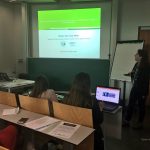
This workshop was the second edition to meet up data users and local authorities, around the current open data initiatives challenges. The validation of the possible barriers that prevent to take the full advantage of the available geo data in cities was the core of the first event in Valencia. During this workshop, a generic strategy to reduce the identified obstacles and improve the metadata attributes was the activity aim.
The final report and results of this activity will be soon available on the Valencia open government office’s website and likewise will be included in the ongoing research of Esr11 research topic of the GeoC project.