From May 9 to May 12, 2017, in Wageningen, The Netherlands, the 20th AGILE conference took place.
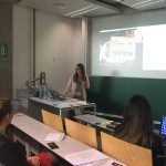
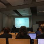
As part of the pre-conference program, GEO-C candidates Mehdi Moradi (Esr12) and Fernando Benitez (Esr11) organized the 5th Open Data for Open Cities participatory workshop, which presented an opportunity to discuss about reuse and discoverability of open data in cities. Topics such as Crime, Disaster Management, Spatial point process and geo-portals assessment were part of the selected papers and a set of short presentations.
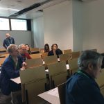
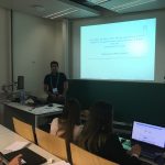
How data user barriers can impact the usefulness level of open data was the discussion with experts of Open Data during this workshop. Participants included Professor Bastian van Loenen, associate professor in open data in the Department of Architecture and The Built Environment at Delft University of Technology, and Heleen Vollers, one of the authors of the last analytic report of European Data portal, who was the KeyNote speaker. Her talk about barriers and benefits of working with Open Data brought participants new insights about how several European countries and enterprises are using open data to improve their innovation level, as well as how cities should deal with barriers in data producer or consumer perspective. For more information about this presentation, you can check the workshop’s website.
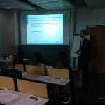
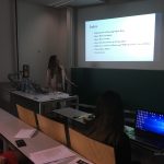
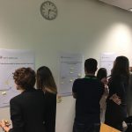
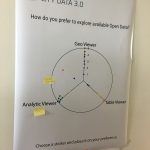
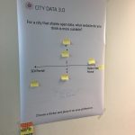
The afternoon session was more interactive, using wallpapers and some findings of City Data 3.0, participants covered three questions regarding reusing and finding open data.
- Is the downloadable formats the effective way to promote the reuse of open data?
- What should be the precise and efficient way to display data in open data portals?
- Moreover, what should be the way to make the open data in cities available: through SDI portals, Open Data portals or both?
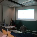
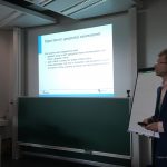
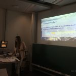
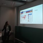
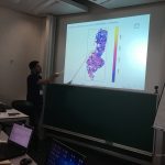
The last part of Open Data for Open Cities workshop was a point process analysis using the new methodology covered in the Ph.D. research of Mr. Moradi. Using Open Data from Medellin City in Colombia, related to car accidents, the last session was used to calculate an intensity network along streets of Medellin city. For more information about the methodology and steps to getting the results follow this link.
![]()

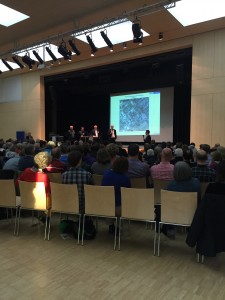 On April 7th, 2016, GEO-C in Muenster attended the public event of Oxford Barracks which was held by the city council of Muenster in Stein Gymnasium at Münster, Germany. This event was a dialogue between urban planners and citizens about an urban design for the zoning change of Oxford Barracks. Around 300 citizens attended this event.Lord Mayor Markus Lewe also attended the event.
 this survey was to collect background information of public participation in urban planning process. As a result 100 questionnaires and 30 email addresses from attendees were collected. We got the final survey results by analyzing questionnaires and sent them to citizens who gave their email addresses. Here is a short summary of the main survey facts: