Framing your research to be the best story to tell. GeoC-UJI present in Agile PhD School 2017.

From October 30th to November 2nd, at University of Leeds – England, took place the 4th AGILE Ph.D. school.

AGILE PhD schools provide a forum for the next generation of scientists and research leaders to develop their own networks and to exchange ideas, as well as providing a set of core research skills. The Schools expose attendees to a diversity of leading-edge topic areas in GI and spatial information sciences and, critically, show them different experiences and expectations around supervision, prosecuting research.

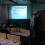
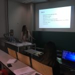
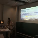
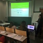
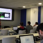
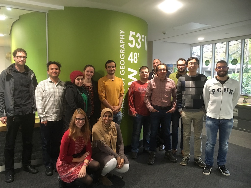
During two days 12 PhD students – from different countries and universities – met to discuss their ongoing research, current progress, and future activities. The main goal was to develop generic research skills related to how to effectively write and post research. Each attendant should consider an effective storytelling as part of the outcomes to properly “sell” the idea that is trying to solve, framing the research problem and intermediate results obtained as part of a good story.

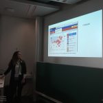
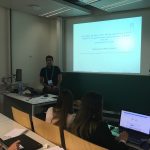
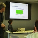
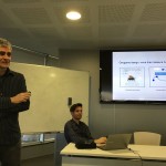
Diego Pajarito and Fernando Benitez from GEOTEC (GeoC project) were part of this group. In only five minutes fellows should explain what is their research about, current outcomes and how to face next steps. Students received feedback from professor Alexis Comber – who was in charge of this year PhD school – and from the rest of participants.

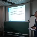
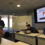
The agenda of the first day also had a practical session about “Agent-Based Modelling” from Nick Malleson, Associate Professor in Geographical Information Science in the School of Geography at The University of Leeds. The second day, Ian Philips – from the Institute for transportation studies – presented his talk “Minister love maps” related to trials and tribulations for an early researcher.

This school was an excellent opportunity to wrap up the basics tips and trick related to writing and posting research. Learning the fundamentals about research paper structure, as well as oral presentations, explaining why the audience should be interested in your talk, and selection of useful literature required were also considered.

For more information, about the AGILE Ph.D. School, visit https://agile-online.org/index.php/initiatives/current-initiatives/phd-school

4th Workshop on geogames and geoplay co-organized by UJI Geo-C

The 20th international conference on geographic information science – Agile 2017 hosted at Wageningen, The Netherlands, was the perfect space to exchange and discuss ideas about games, playfulness, gamification and geospatial technologies at the Fourth workshop on geogames and geoplay co-organized by GEOTEC (Geo-C) and the Geogames team from University of Bamberg, the thematic focus defined for the workshop was “Gamifying the Open Smart City”.

The Five selected papers explored a wide range of concepts related to this research field, from the use of the serious games approach for gathering critical spatial thinking, an agent-based simulation framework for geogrames, to three different available geogames (NavApps, Smart Beetles, and BioDiv2Go). The hands on session allowed to shape one experiment from the GEO-C (www.geo-c-eu) european project aiming to promote cycling as a feasible commuting mode combining gamification and geographical information sciences.

Continue reading

Research colloquia: “Running a virtual, cloud-based company for sensor-based air and water monitoring”

Dr. Edward Pultar is visiting one week in May. He is a former visiting scholar at UJI and founding member of Valarm.net (http://www.valarm.net/), an entirely cloud-based company managed together with his brother. How can a self-funding, bootstrapped company, manage international customers around the world? What is their business model? What is the trick? VAlarm is basically a software as a service company. Software is the main product. They sometimes sell the hardware solutions, because some customers demand a single provider to manage sw&hw together. In other cases, they create software tools, APIs and real-time dashboards for existing hardware when customers already possess their sensors. So, Valarm provides cloud-based software tools for remotely monitoring industrial IoT systems and sensors. Look at the customer stories (http://www.valarm.net/customer-stories/) for really real-life IoT deployments and successful use cases.

Continue reading

GEO-C student wins best poster award in AGILE 2017 #agilewag2017

From May 9 to May 12, 2017, in Wageningen, The Netherlands, the 20th AGILE conference took place. This year’s team: societal geo-innovation.

AGILE 2017 is the annual international conference on Geographic information science of association of geographic information laboratories in Europe. This event, organized by Wageningen University and the remarkable local committee, was an excellent opportunity to discuss the social impact of geo innovation over the past 20 years, and the most exciting and challenging topics for the next 20 years in GIScience.

With more than 200 participants AGILE 2017 had pre-conferences workshops, parallel sessions, keynote sessions, and posters session, about the most significance GIScience topics such as VIG, Data Quality, Spatial analysis, Open Data, GeoGames, smart cities and others.

The poster session had more than 30 posters related to different topics. GeoC UJI was part of this event with two posters. Citizense – A generic user-oriented participatory sensing framework by  Manh Khoi Ngo, Luis Rodríguez and Sven Casteleyn and City Data 3.0 – A generic initiative to promote and assess the reuse of geographic information in cities – Early steps by Fernando Benitez and Joaquin Huerta. We are proud to say that the latter won the best poster award at Agile 2017!

City Data 3.0 poster presented the preliminary results of research related to the reuse and discoverability of available open data in cities. This poster shows the barriers identified in four selected cities, main data quality criteria considered by data consumers and the most valuable services and formats used for developers and analysts in Bogota, Cali, Medellin, and Valencia.


More GEO-C contributions in AGILE 2017:

  • Short Paper presentation: One tool to spatialize all – sense of place, social capital and civic engagement by Albert Acedo, Germán Martín Mendoza Silva, Marco Painho and Sven Casteleyn
  • Organization of 5th Open Data for Open Cities participatory workshop, Joaquin Huerta, Fernando Benitez, Mohammad Mehdi Moradi, Pau Aragó Galindo
  • Organization of Agile Workshop on Geogames and Geoplay, Christoph Schlieder, Miek Gould, Diego Pajarito, Ola Ahlqvist, Thomas Heinz, Peter Kiefer, Vyron Antoniou

GEO-C students organised 5th Open Data for Open Cities participatory workshop at Agile 2017 #agilewag2017

From May 9 to May 12, 2017, in Wageningen, The Netherlands, the 20th AGILE conference took place.

As part of the pre-conference program, GEO-C candidates  Mehdi Moradi (Esr12) and Fernando Benitez (Esr11) organized the 5th Open Data for Open Cities participatory workshop, which presented an opportunity to discuss about reuse and discoverability of open data in cities. Topics such as Crime, Disaster Management, Spatial point process and geo-portals assessment were part of the selected papers and a set of short presentations.

How data user barriers can impact the usefulness level of open data was the discussion with experts of Open Data during this workshop.  Participants included Professor Bastian van Loenen, associate professor in open data in the Department of Architecture and The Built Environment at Delft University of Technology, and Heleen Vollers, one of the authors of the last analytic report of European Data portal, who was the KeyNote speaker. Her talk about barriers and benefits of working with Open Data brought participants new insights about how several European countries and enterprises are using open data to improve their innovation level, as well as how cities should deal with barriers in data producer or consumer perspective. For more information about this presentation, you can check the workshop’s website.

The afternoon session was more interactive, using wallpapers and some findings of City Data 3.0, participants covered three questions regarding reusing and finding open data.

  • Is the downloadable formats the effective way to promote the reuse of open data?
  • What should be the precise and efficient way to display data in open data portals?
  • Moreover, what should be the way to make the open data in cities available: through SDI portals, Open Data portals or both?

The last part of Open Data for Open Cities workshop was a point process analysis using the new methodology covered in the Ph.D. research of Mr. Moradi. Using Open Data from Medellin City in Colombia, related to car accidents, the last session was used to calculate an intensity network along streets of Medellin city. For more information about the methodology and steps to getting the results follow this link.

Information literacy seminar at UJI

The 24th of November Library services at UJI, organised a Library training session for GEO-C students. As part of WP6 (General studies) this seminar was designed to provide additional key competencies to GEO-C students, useful in their reserach.

During this session GEO-C students had the chance to learn more about the services offered by UJI’s library, putting special emphasis in the services especifically addressed to research. The seminar included the use of scientific databases (ScienceDirect or Web of Science), the introduction to reference management software (Mendeley) or an overview of tools for measuring scientific impact (Journal Citation Reports).

Check the full agenda here

GeoC UJI and Nova were part of GeoMundus 2016 conference.

panel

From November 4 to November 7, 2016, Geomundus an international symposium on Geography, Earth and Environmental Studies, held by the students from the consortium of Erasmus Mundus (EM) International Master’s program in Geospatial Technologies.

This year GEO-C: Enabling Open Cities project, funded in the Marie Curie International Training Networks (ITN) program was also part of this conference. The conference took a place in Castellón, Spain.

Geo-C team at UJI University, Spain; and Geo-C Nova, Lisboa; conducted several talks to share their current research progress as well as a participatory workshop called Open Data for Open Cities (leaded by Esr11) with over 30 students from the International Master Program.

Continue reading

Geo-C (UJI) And GEOTEC Attending Major Spatial Data Infrastructures Conferences In Barcelona

jiideoctFrom 26th to 30th September, Barcelona will host presentations and attendees from around world during Inspire Conference (http://inspire.ec.europa.eu/events/conferences/inspire_2016/page/home) and JIDEE (http://www.jiide.org/). These relevant conferences will gather European public authorities, private companies and Inspire community to show how the implementation of INSPIRE contributes to the European Interoperability Framework and the EU’s digital economy in general. http://inspire.ec.europa.eu/events/conferences/inspire_2016/page/home .

GEOTEC will present two papers inside JIDEE congress. The first of them is “Open City Toolkit: hacia ciudades más abiertas y participativas” and will be presented by Sergi Trilles. In this paper, Sergi will talk about Geo-C project and he will focus on the OCT tool. German will present “Soluciones para campañas mapeado de redes wifi” paper. In this paper, the author talk about a set of software solutions that aim to enable the general public to participate in WiFi signal samples collection campaigns.

Geotec (UJI) organises a geogames seminar for GEO-C students

Christoph Schlieder and Thomas Heinz from the Research Group on Computing in the Cultural Sciences, University of Bamberg, Germany (http://www.geogames-team.org/) gave a quite interesting 2-day course about geogames design and implemation. The first day there was an introductory presentation on Geogames, location based applications and its components. Some examples of gamification in a location based application were also shown, including Geoguessr, where you have to guess the location of a set of random pictures; and Geocaching, where there are treasures hidden in the real world, and only with the coordinates and some hints you should find them. In both cases you should try to get the best score by guessing the location or by finding more treasures. There was an explanation of two of their own Geogames, and after a demonstration, where we played with real devices on the campus of the University. The goal of the first one was to guess the distance between your current location to some buildings inside the campus. And the second game was a poker card game in which to change the cards in your hand you should move to an specific location in the campus; we were playing in two teams and the one who had better hand when the time was over won.

Continue reading

UJI organizes a Geogames seminar

In the context of Geo-C program, Geotec is organizing a geogames seminar for the next week (23 and 24). The seminar will take place in ESPAITEC II, Sala multiusos, 2nd floor (http://smart.uji.es/index.php?room=UB1206SM). And it will be taught by Christoph Schlieder and Thomas Heinz from the Research Group on Computing in the Cultural Sciences, University of Bamberg, Germany (http://www.geogames-team.org/).

geogames.fw

Continue reading