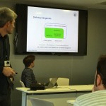
Christoph Schlieder and Thomas Heinz from the Research Group on Computing in the Cultural Sciences, University of Bamberg, Germany (http://www.geogames-team.org/) gave a quite interesting 2-day course about geogames design and implemation. The first day there was an introductory presentation on Geogames, location based applications and its components. Some examples of gamification in a location based application were also shown, including Geoguessr, where you have to guess the location of a set of random pictures; and Geocaching, where there are treasures hidden in the real world, and only with the coordinates and some hints you should find them. In both cases you should try to get the best score by guessing the location or by finding more treasures. There was an explanation of two of their own Geogames, and after a demonstration, where we played with real devices on the campus of the University. The goal of the first one was to guess the distance between your current location to some buildings inside the campus. And the second game was a poker card game in which to change the cards in your hand you should move to an specific location in the campus; we were playing in two teams and the one who had better hand when the time was over won.


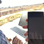
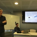
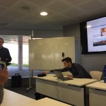
The second day of the seminar consisted of a workshop on how to build an android native geogame using the ArcGIS SDK to show the base map of the campus, and to load to the map some nodes from Open Street Map features. The game consisted in catching all this nodes by moving with the device to their real location in the campus, making a kind of PacMan in real location game.
Slides from the game design course, the Android programming course, and an example for a game design document are available at:
http://www.geogames-team.org/files/uji/
Interested in geogames? Do not miss the upcoming AGILE 2016 workshop on Geogames and Geoplay in Helsinki: