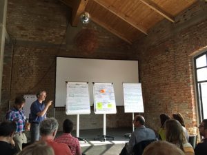
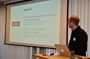
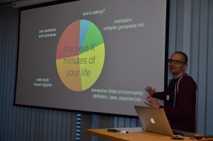
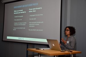
On March 29, 2017, it was held at ConTerra the first UX meetup (UXMS) in Münster (Germany). Two of the GEO-C team members from the University of Münster were part of the day with the talk called “UX for all: the case of complex geospatial information.” We discussed how to generate visualizations of geospatial information, as well as interactions with it through more inclusive and participatory approaches. As part of this, we introduced to the audience the overall goal of the GEO-C project and one of its research lines related to the adaptation of open geospatial data visualizations and interactions to support forced displaced population when arriving at an unfamiliar city for their resettlement process.
ifgi
ifgi (WWU) participates in workshop on the future of the atlas
 The Geovisualisation group at the Leibniz-Institut für Länderkunde, led by Francis Harvey, (http://www.ifl-leipzig.de/en/
The two-day, by-invitation-only workshop at Leipzig (June 9th and 10th) brought together scientists and practitioners with different backgrounds, ranging from arts over literature, social sciences and cartography to geoinformatics and computer science. At the event, several key aspects and challenges were discussed, including the role of curation, how people will want to interact with the atlas of the future and what economic models can fund atlas-related work. Researchers from ifgi constituted the largest group of external experts and highlighted relevant issues such as transparency and openness, real-time sensor data and accessible user interfaces.


