Paper Published in International Journal of Geo-Information IJGI – ISPRS about Roadblocks Hindering the Reuse of Open Geodata.

The paper Roadblocks Hindering the Reuse of Open Geodata in Colombia and Spain: A Data User’s Perspective (Authors: Fernando Benitez-Paez, Auriol Degbelo, Sergi Trilles, Joaquin Huerta) has been published in Volume 7, issue 1 of the International Journal of Geo-Information ISPRS by MDPI.

Abstract: Open data initiatives are playing an important role in current city governments. Despite more data being made open, few studies have looked into barriers to open geographic data reuse from a data consumer’s perspective. This article suggests a taxonomy of these barriers for Colombia and Spain, based on a literature review, an online questionnaire, and workshops conducted in four cities of these two countries. The taxonomy highlights that issues such as outdated data, low integration of data producers, published data being difficult to access, misinterpretation and misuse of released data and their terms of use are the most relevant from the data consumer’s point of view. The article ends with some recommendations to open data providers and research as regards steps to make open geographic data more usable in the countries analyzed.

This article is Open Access anyone can read and download anytime. For more information, to download, cite or read this recently published paper: http://www.mdpi.com/2220-9964/7/1/6

Cite: Benitez-Paez F, Degbelo A, Trilles S, Huerta J. Roadblocks Hindering the Reuse of Open Geodata in Colombia and Spain: A Data User’s Perspective. ISPRS International Journal of Geo-Information. 2018; 7(1):6.

Framing your research to be the best story to tell. GeoC-UJI present in Agile PhD School 2017.

From October 30th to November 2nd, at University of Leeds – England, took place the 4th AGILE Ph.D. school.

AGILE PhD schools provide a forum for the next generation of scientists and research leaders to develop their own networks and to exchange ideas, as well as providing a set of core research skills. The Schools expose attendees to a diversity of leading-edge topic areas in GI and spatial information sciences and, critically, show them different experiences and expectations around supervision, prosecuting research.

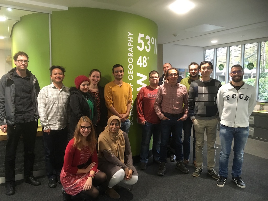
During two days 12 PhD students – from different countries and universities – met to discuss their ongoing research, current progress, and future activities. The main goal was to develop generic research skills related to how to effectively write and post research. Each attendant should consider an effective storytelling as part of the outcomes to properly “sell” the idea that is trying to solve, framing the research problem and intermediate results obtained as part of a good story.

Diego Pajarito and Fernando Benitez from GEOTEC (GeoC project) were part of this group. In only five minutes fellows should explain what is their research about, current outcomes and how to face next steps. Students received feedback from professor Alexis Comber – who was in charge of this year PhD school – and from the rest of participants.

The agenda of the first day also had a practical session about “Agent-Based Modelling” from Nick Malleson, Associate Professor in Geographical Information Science in the School of Geography at The University of Leeds. The second day, Ian Philips – from the Institute for transportation studies – presented his talk “Minister love maps” related to trials and tribulations for an early researcher.

This school was an excellent opportunity to wrap up the basics tips and trick related to writing and posting research. Learning the fundamentals about research paper structure, as well as oral presentations, explaining why the audience should be interested in your talk, and selection of useful literature required were also considered.

For more information, about the AGILE Ph.D. School, visit https://agile-online.org/index.php/initiatives/current-initiatives/phd-school

GEO-C student wins best poster award in AGILE 2017 #agilewag2017

From May 9 to May 12, 2017, in Wageningen, The Netherlands, the 20th AGILE conference took place. This year’s team: societal geo-innovation.

AGILE 2017 is the annual international conference on Geographic information science of association of geographic information laboratories in Europe. This event, organized by Wageningen University and the remarkable local committee, was an excellent opportunity to discuss the social impact of geo innovation over the past 20 years, and the most exciting and challenging topics for the next 20 years in GIScience.

With more than 200 participants AGILE 2017 had pre-conferences workshops, parallel sessions, keynote sessions, and posters session, about the most significance GIScience topics such as VIG, Data Quality, Spatial analysis, Open Data, GeoGames, smart cities and others.

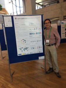
The poster session had more than 30 posters related to different topics. GeoC UJI was part of this event with two posters. Citizense – A generic user-oriented participatory sensing framework by  Manh Khoi Ngo, Luis Rodríguez and Sven Casteleyn and City Data 3.0 – A generic initiative to promote and assess the reuse of geographic information in cities – Early steps by Fernando Benitez and Joaquin Huerta. We are proud to say that the latter won the best poster award at Agile 2017!

City Data 3.0 poster presented the preliminary results of research related to the reuse and discoverability of available open data in cities. This poster shows the barriers identified in four selected cities, main data quality criteria considered by data consumers and the most valuable services and formats used for developers and analysts in Bogota, Cali, Medellin, and Valencia.


More GEO-C contributions in AGILE 2017:

  • Short Paper presentation: One tool to spatialize all – sense of place, social capital and civic engagement by Albert Acedo, Germán Martín Mendoza Silva, Marco Painho and Sven Casteleyn
  • Organization of 5th Open Data for Open Cities participatory workshop, Joaquin Huerta, Fernando Benitez, Mohammad Mehdi Moradi, Pau Aragó Galindo
  • Organization of Agile Workshop on Geogames and Geoplay, Christoph Schlieder, Miek Gould, Diego Pajarito, Ola Ahlqvist, Thomas Heinz, Peter Kiefer, Vyron Antoniou

Geo-C at UXMS meetup

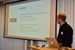
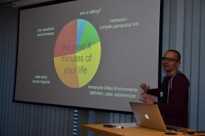
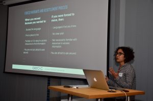
On March 29, 2017, it was held at ConTerra the first UX meetup (UXMS) in Münster (Germany). Two of the GEO-C team members from the University of Münster were part of the day with the talk called “UX for all: the case of complex geospatial information.” We discussed how to generate visualizations of geospatial information, as well as interactions with it through more inclusive and participatory approaches. As part of this, we introduced to the audience the overall goal of the GEO-C project and one of its research lines related to the adaptation of open geospatial data visualizations and interactions to support forced displaced population when arriving at an unfamiliar city for their resettlement process.


GeoTec Group and GeoC UJI presented several talks in last Esri Spain user conference.

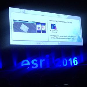
img_7288 From October 26 to October 27, was held at Madrid the last Esri Spain User conference, the main event of Esri Spain company which meet together their customers, professors, some partners and students related to, GIS, smart Cities, Open Data, and GI applications that use Esri Technology.

During this couple of days, the Geotec research group and GeoC UJI presented several talks related to their projects and initiatives. Education track was the place to meet with some professors, Esri Master program students, and other people interested with the progress and success stories related to educations and GIS applications.

David Frias, who led the talks called, “NavApps: Un juego móvil para mejorar las habilidades espaciales en la ESO”, was the initial talk for GeoTec research group, Whom presented the process made for ENAbLE project. NavApps project is a geo-game with APP/Web application to improve the spatial skills of children from 12 to 16 years old, which is also part of ENAbLE project.

Continue reading

GeoC UJI and Nova were part of GeoMundus 2016 conference.

panel

From November 4 to November 7, 2016, Geomundus an international symposium on Geography, Earth and Environmental Studies, held by the students from the consortium of Erasmus Mundus (EM) International Master’s program in Geospatial Technologies.

This year GEO-C: Enabling Open Cities project, funded in the Marie Curie International Training Networks (ITN) program was also part of this conference. The conference took a place in Castellón, Spain.

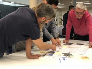
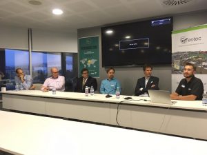
Geo-C team at UJI University, Spain; and Geo-C Nova, Lisboa; conducted several talks to share their current research progress as well as a participatory workshop called Open Data for Open Cities (leaded by Esr11) with over 30 students from the International Master Program.

Continue reading