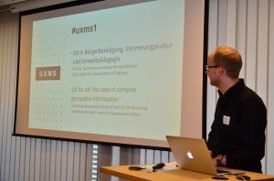
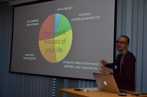
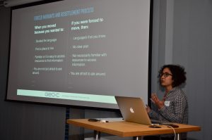
On March 29, 2017, it was held at ConTerra the first UX meetup (UXMS) in Münster (Germany). Two of the GEO-C team members from the University of Münster were part of the day with the talk called “UX for all: the case of complex geospatial information.” We discussed how to generate visualizations of geospatial information, as well as interactions with it through more inclusive and participatory approaches. As part of this, we introduced to the audience the overall goal of the GEO-C project and one of its research lines related to the adaptation of open geospatial data visualizations and interactions to support forced displaced population when arriving at an unfamiliar city for their resettlement process.


