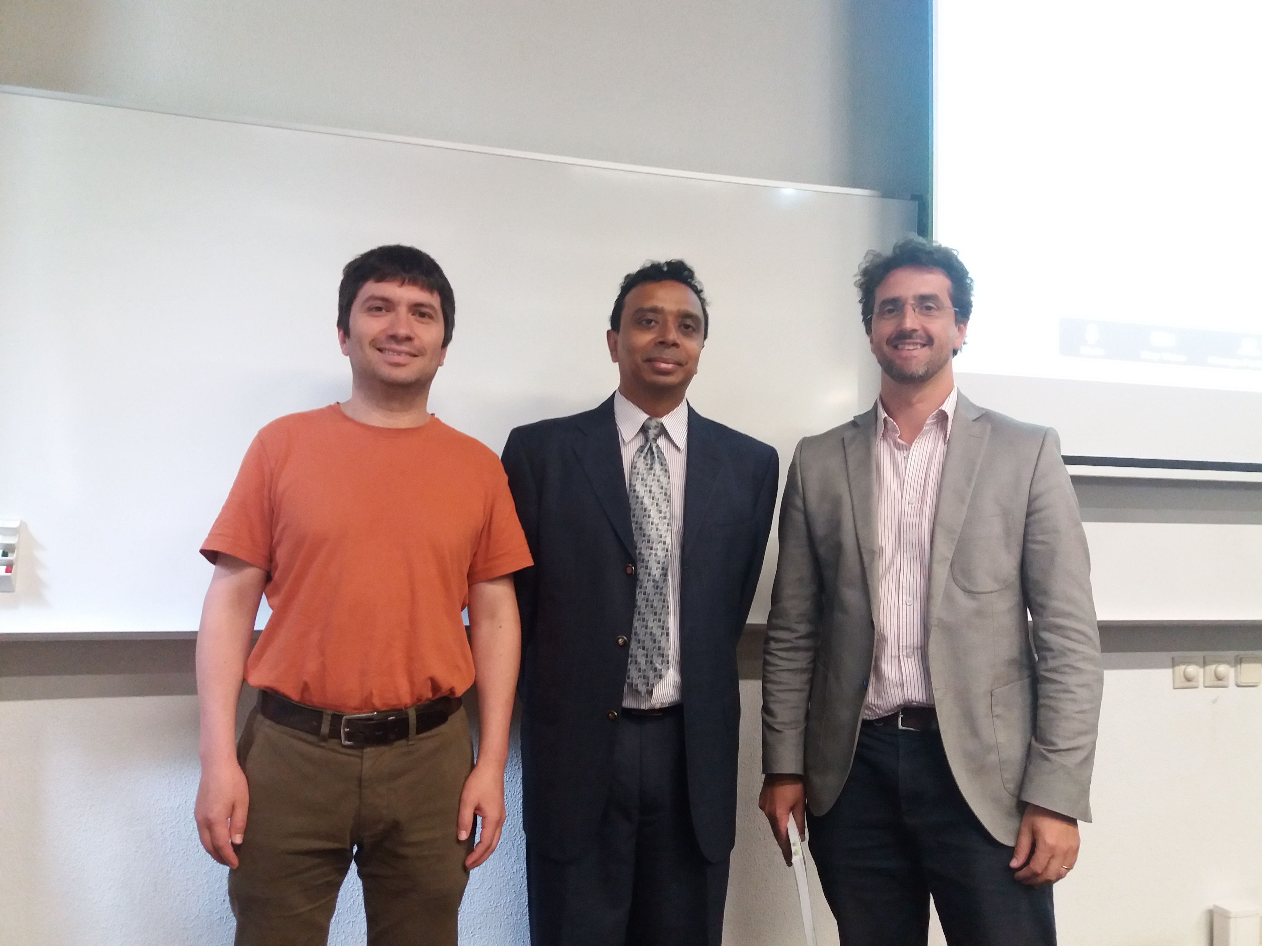
NOVA IMS and GEO-C team are pleased to welcome the visit of Dr. Viswanath Venkatesh

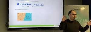
Dr. Viswanath Venkatesh is a worldwide renowned academic researcher and authority in the field of Information Systems with nearly 80000 citations in Google scholar. He was invited by the GEO-C team to visit NOVA IMS school on 03 and 04 of July 2018 to deliver a seminar and provide feedback to improve the research of Mijail Naranjo-Zolotov (esr05).

Title of seminar: “Road to success: A guide for doctoral students and junior faculty members in the behavioral and social sciences”

Seminar with Prof. Viswanath Venkatesh: "The road to success"


Biography: Viswanath Venkatesh, who completed his PhD at the University of Minnesota in 1997, is a Distinguished Professor and Billingsley Chair in Information Systems at the Walton College of Business, University of Arkansas. He is widely regarded as one of the most influential scholars in business and economics, both in terms of premier journal publications and citations. His research focuses on understanding the diffusion of technologies in organizations and society.

Notes on a participation in the meeting about “Citizen Science in Social Sciences and Humanities”

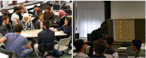
On the 7th and 8th of March, Manuel Portela (GEO-C ESR15) assisted to the meeting “Mapping opportunities and challenges for Citizen Science in Social Sciences and Humanities” as part of the COST Action “Citizen Science to promote creativity, scientific literacy, and innovation throughout Europe”. The meeting, held in the Kaunas University Of Technology (Lithuania) and organised by Egle Butkeviciene (KTU) and Katrine Vohland (MFM Berlin), gathered 15 participants from different fields inside Social Sciences and Humanities (SSH).
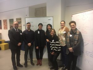
The aim of the meeting was to discuss the particularities of SSH inside the context of Citizen Science. Therefore, different sessions organised generated an agenda to promote the research on this topic.

The main concern of the meeting was the difficulty of including SSH scientists and citizens’ alike in research projects, despite of the promotion and support of funding agencies. It was also accounted that SSH has a large background in participatory practices, and a widely history on governance and engagement, which is nowadays of special interest for the (European) research agenda. As a result, one of the main barriers for transdisciplinarity could be the intrinsic difficulty of the object of study (objective, subjective and intersubjective, to name some). The lack of common ground, terminology and concepts inside the Sciences make this task unaffordable for both sides.

In this vein, Science is to create useful knowledge for society, whether the problem in the multidisciplinary approach resides in what data is considered valid (and objective) to be used for producing this Science. In that sense, Science is also useful in the use and understanding of such knowledge for more practical outcomes. Thus, in the literature, experts appear as the only ones who have the knowledge. In contrast, non-experts (i.e. citizens) are presented as the individuals that will use this knowledge for personal or collective purposes. Far from reality, this and other conflicts between concepts were put under discussion during the meeting.

The outcome of this meeting was to write a publication that accounts on how participatory practices and citizen involvement have been historically constructed. Moreover, the paper will also contribute to how SSH can help other sciences in the development of (European) projects. In this regard, SSHs has the mission to put the policies that are shaping the future of research under a critical view. By this first approach, it is expected to encourage more multidisciplinary and transdisciplinary works in Citizen Science.
@esri_spain workshops about #bigdata, #arcgis, #ML and much more

From February 21th to 22th, at Jaume I University – Castellon de la Plana (Spain) a set of courses were held by Esri Spain. Workshop’s main topics were about detecting spatial patterns, analyzing big data and applying ML with ArcGIS platform.

During two days over 20 students – from the Geo-C project and Mastergeotech students – attended the lectures given by Alberto Céspedes and Dariya Ordanovich from Esri Spain. By the presentation of several examples, Alberto and Dariya explained how concepts like Machine Learning, Spatial Big Data, and Spatial Patterns fit into ArcGIS.

Initially, Alberto Céspedes taught how to use Insights for ArcGIS creating easy-to-use dashboards which integrate spatial and tabular data for contextual analysis. Insights for ArcGIS is a web-based tool for data analytics that delivers an integrated view of the results, including charts, graphs, and maps.

The applicability of machine learning algorithms using ArcGIS tools was also presented during these workshops by the application of image detection for an extensive amount of satellite images. Geo-analytics tools from ArcGIS Pro provides a better understanding of an enormous amount of spatial data, integrating data web services with spatial geoprocessing tools.

Finally, Dariya Ordanovich illustrated how to connect, install and use R with ArcGIS, making use of the R-Bridge for ArcGIS. This open source project allows R users to work with ArcGIS data, and ArcGIS users to leverage the analysis capabilities of R.

For more information, about the tools used during this workshop, visit

Paper published in TOCHI Special Issue ‘Re-imagining Participatory Design’

The paper ‘Participatory Design and Participatory Research: An HCI case study with Young Forced Migrants’ (Authors: Ana Maria Bustamante Duarte, Nina Brendel, Auriol Degbelo, Christian Kray) has been published in the special issue in ‘Re-imagining Participatory Design’ from the ACM Transactions in Computer-Human Interaction (TOCHI) volume 25 issue 3.

Abstract: Participatory design (PD) in HCI has been successfully applied to vulnerable groups, but further research is still needed on forced migrants. We report on a month-long case study with a group of about 25 youngforced migrants (YFMs), where we applied and adapted strategies from PD and participatory research (PR). We gained insights into the benefits and drawbacks of combining PD and PR concepts in this particular scenario. The PD+PR approach supported intercultural collaborations between YFMs and young members of the host community. It also enabled communication across language barriers by using visual and “didactic reduction” resources. On a theoretical level, the experiences we gained allowed us to reflect on the role of “safe spaces” for participation and the need for further discussing it in PD. Our results can benefit researchers who take part in technology-related participatory processes with YFMs.

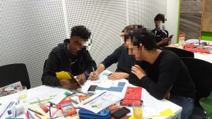
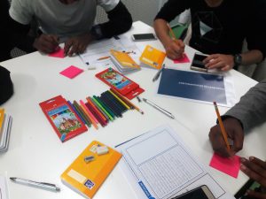
GEO-C and Participation: Workshops on ‘Design Thinking’ with young refugees in Münster

Four participatory workshops in ‘Design Thinking’ were conducted by the Geo-C team at WWU with over 18 young refugees and asylum seekers in Münster. Each of the sessions was half-day long, and they were done as extracurricular activities from the school. The workshops were held at the Institute for Geoinformatics from mid-October to mid-November, 2017. These workshops aimed to assess a set of participatory methodologies draw from a combination of elements from participatory design, participatory (action) research, and didactics to provide ‘safe spaces’ for learning and co-creation of technologies for them with young refugees and asylum seekers.

During these workshops, we also aimed to understand the awareness of young refugees and asylum seekers regarding the management of their personal and location data when they use digital services. Several exploratory methods were used for this, as well as for introducing, after the ‘exploratory’ assessment, the concept of personal and location data privacy to them. The goal of this exercise was to evaluate if such strategy modified somehow the way they ideate and design digital services to support them in their (re)settlement in Münster.

At the end of the workshops, attendance certificates for participating in the workshops in ‘Design Thinking’ were provided to the young refugees and asylum seekers who participated. All of these activities were done with the collaboration of the school staff, mainly from the school administration and teachers.

GEO-C and Participation: Workshops with young refugees in Münster

From mid-September to mid-October, 2016, the Geo-C team at WWU in Münster, Germany conducted several participatory workshops and activities with over 50 students, ages 15-18, from the International and IT classes* at school in the city.
The overall goal of these activities was to generate participatory spaces in which it was possible to identify the challenges and needs of the group of young refugees and asylum seekers, as well as a potential ICT mobile tool to guide them when using open geospatial data to address their information needs during the initial stages of their resettlement in Münster. In total, we held five workshops, one field work, and one extra hands-on session at the school. All of these activities were done with the collaboration of the school staff, particularly from the school administration  and the IT teacher and coordinator.
Some of the preliminary results were:
A) Initially identified needs of the young refugees and asylum seekers related to 1) learning the local language upon arrival, 2) the urge for establishing social contact with people from the local community, and 3) the relevancy of ICT apps which are more ‘user friendly’.
B) A set of places of importance for the young refugees and asylum seekers in the city.
C) More than 13 mock-ups done by young refugees related to a potential geospatial application which supported them upon arrival.
*This classification of the classes is the official designation from the school. The international class is constituted by students at the school who are recognized as refugees and asylum seekers.

Career development session for GEO-C doctoral students: Suez Spain.

Recently (January 8th), GEOTEC hosted an industrial talk targeting our GEO-C doctoral students (link: http://geo-c.eu), and all GIS enthusiasts, given by representatives of Suez Water Spain (link: http://suez.es/). Suez is a multi-national company active in 5 continents, with over 80 000 employees and 400 000 clients, who mainly – but not exclusively – perform projects related to water treatment and management. Clearly, Geographic Information technologies and techniques play a central role in the developed solutions.
Suez gave an overview of the types of projects they are involved in, along with some concrete examples. They then summarised how projects are typically developed, the different roles in projects, how GIS professionals and geospatial technologies fit within a project, and how a GIS specialist fits in the workspace in general and may develop his/her career.

GEO-C student wins best poster award in AGILE 2017 #agilewag2017

From May 9 to May 12, 2017, in Wageningen, The Netherlands, the 20th AGILE conference took place. This year’s team: societal geo-innovation.

AGILE 2017 is the annual international conference on Geographic information science of association of geographic information laboratories in Europe. This event, organized by Wageningen University and the remarkable local committee, was an excellent opportunity to discuss the social impact of geo innovation over the past 20 years, and the most exciting and challenging topics for the next 20 years in GIScience.

With more than 200 participants AGILE 2017 had pre-conferences workshops, parallel sessions, keynote sessions, and posters session, about the most significance GIScience topics such as VIG, Data Quality, Spatial analysis, Open Data, GeoGames, smart cities and others.

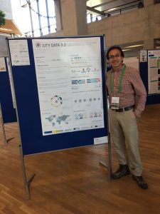
The poster session had more than 30 posters related to different topics. GeoC UJI was part of this event with two posters. Citizense – A generic user-oriented participatory sensing framework by  Manh Khoi Ngo, Luis Rodríguez and Sven Casteleyn and City Data 3.0 – A generic initiative to promote and assess the reuse of geographic information in cities – Early steps by Fernando Benitez and Joaquin Huerta. We are proud to say that the latter won the best poster award at Agile 2017!

City Data 3.0 poster presented the preliminary results of research related to the reuse and discoverability of available open data in cities. This poster shows the barriers identified in four selected cities, main data quality criteria considered by data consumers and the most valuable services and formats used for developers and analysts in Bogota, Cali, Medellin, and Valencia.


More GEO-C contributions in AGILE 2017:

  • Short Paper presentation: One tool to spatialize all – sense of place, social capital and civic engagement by Albert Acedo, Germán Martín Mendoza Silva, Marco Painho and Sven Casteleyn
  • Organization of 5th Open Data for Open Cities participatory workshop, Joaquin Huerta, Fernando Benitez, Mohammad Mehdi Moradi, Pau Aragó Galindo
  • Organization of Agile Workshop on Geogames and Geoplay, Christoph Schlieder, Miek Gould, Diego Pajarito, Ola Ahlqvist, Thomas Heinz, Peter Kiefer, Vyron Antoniou

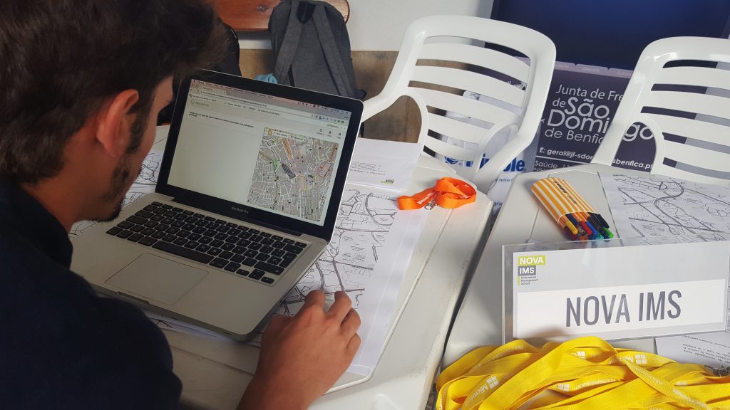
GEO-C ESRs developed a map survey at Lisbon’s Freguesia de São Domingos de Benfica meeting


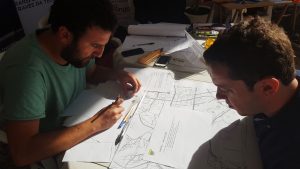
Yesterday, Albert Acedo (ESR04) and Manuel Portela (ESR15) developed a survey as a part of their joint research with the local community of San Domingos de Benfica, a neighbourhood in Lisbon. The meeting was organized by the Junta de Freguesia de Domingos de Benfica and the NGO CDI Portugal for the promotion of the participatory budget.

The survey was the first step to test how dwellers of the neighbour can perceive and feel their sense of place and social capital by mapping themselves and their social groups in a local cartography. The next steps will include a digital application that Acedo is developing and will be released next month, and an ethnographic experience that will be held with same participants next week.
The outcome of the research, is meant to provide some insights on how neighbours can improve their quality of live by enhancing their neighbourhood sense of belonging, emotional engagement, and civic participation.


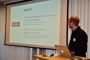
Geo-C at UXMS meetup

On March 29, 2017, it was held at ConTerra the first UX meetup (UXMS) in Münster (Germany). Two of the GEO-C team members from the University of Münster were part of the day with the talk called “UX for all: the case of complex geospatial information.” We discussed how to generate visualizations of geospatial information, as well as interactions with it through more inclusive and participatory approaches. As part of this, we introduced to the audience the overall goal of the GEO-C project and one of its research lines related to the adaptation of open geospatial data visualizations and interactions to support forced displaced population when arriving at an unfamiliar city for their resettlement process.