ifgi (WWU) participates in workshop on the future of the atlas

IMG_3333The Geovisualisation group at the Leibniz-Institut für Länderkunde, led by Francis Harvey, (http://www.ifl-leipzig.de/en/research/geovisualisation.html) organised a workshop to discuss the future of the atlas (http://atlaszukuenfte.nationalatlas.de, in German).  Not long ago, when someone wanted to access geographic information, they would reach for their atlas and look up what they were interested in.  With the proliferation of digital and online maps, many people now turn to readily available online services instead of their atlas.  Still, an atlas is more than just a collection of maps: it is carefully curated and the maps and diagrams it contains are usually of a very high quality.  The people creating an atlas also invest a lot of thought what (not) to include and which diagrams and maps to combine on a single page.  These useful aspects are frequently lost when transitioning to ‘vanilla’ online maps.

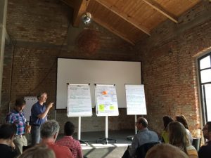
The two-day, by-invitation-only workshop at Leipzig (June 9th and 10th) brought together scientists and practitioners with different backgrounds, ranging from arts over literature, social sciences and cartography to geoinformatics and computer science.  At the event, several key aspects and challenges were discussed, including the role of curation, how people will want to interact with the atlas of the future and what economic models can fund atlas-related work.  Researchers from ifgi constituted the largest group of external experts and highlighted relevant issues such as transparency and openness, real-time sensor data and accessible user interfaces.

The 15 GEO-C PhD students meet in Lisbon for a “Retreat”

4579_foto5_7During next week, the 15 GEO-C PhD students will meet in Lisbon to “streamline” their approaches and to encourage cross-site cooperation. This “retreat” event has two different objectives:

  • Link to the PhD projects: On May 10, two external experts moderate a 90-minutes session with the PhD students. The two external experts agree on and formulate overall research questions in the context of smart cities and moderate its discussion with the PhD students. (Two sessions). Afterwards, PhD students will form working groups and in another 90-minutes session they come up with a project idea/proposal in this context, to be presented as elevator pitches. The next days the PhD students will do a hackathon on the “open city toolkit”.
  • Paper writing:  The idea is a discussion of the 4 external experts with the faculties of our Consortium about the role of software development in research and in PhD education. However, we do not only want to discuss, but to come up (ideally finish at the spot) a paper (or papers), so three full days (May 11, 12, 13) are dedicated to this approach.

During the week, while the PhD students will do a hackathon on the “open city toolkit”, the external experts and  the faculties of our Consortium will have “after-lunch visits” to  the PhD students, providing feedback to what they are doing. At the same time, this will be some “empirical feedback” to our paper writing.

GEO-C ESR team won second place in the #NRWHackathon !

On February 27, 2016 in Düsseldorf, more than 80 participants including developers, researchers, administration officials, students, designers and programmers came together to create applications for “Education through Open Data”.

After a very interesting panel discussion from Claus Arndt (Moers), André J. Spang (Empress Augusta High School), Christian Dinnus (Open.NRW) and Hartmut Beuss (CIO NRW), the day unfolded into developing applications that use Open Data to educate children.

As participants, we selected our teams based on our interests and skills in the morning and worked all afternoon to develop those ideas as a group. It was a wonderful opportunity to get to work with new people and exchange ideas as well as improve them. I was part of the ”AmazingMapPeople”: an international team (Colombia and Germany) of eight people from two entities IFGI-Viderum-con terra as well as interested citizens.

Continue reading

Geotec (UJI) organises a geogames seminar for GEO-C students

Christoph Schlieder and Thomas Heinz from the Research Group on Computing in the Cultural Sciences, University of Bamberg, Germany (http://www.geogames-team.org/) gave a quite interesting 2-day course about geogames design and implemation. The first day there was an introductory presentation on Geogames, location based applications and its components. Some examples of gamification in a location based application were also shown, including Geoguessr, where you have to guess the location of a set of random pictures; and Geocaching, where there are treasures hidden in the real world, and only with the coordinates and some hints you should find them. In both cases you should try to get the best score by guessing the location or by finding more treasures. There was an explanation of two of their own Geogames, and after a demonstration, where we played with real devices on the campus of the University. The goal of the first one was to guess the distance between your current location to some buildings inside the campus. And the second game was a poker card game in which to change the cards in your hand you should move to an specific location in the campus; we were playing in two teams and the one who had better hand when the time was over won.

Continue reading

UJI organizes a Geogames seminar

In the context of Geo-C program, Geotec is organizing a geogames seminar for the next week (23 and 24). The seminar will take place in ESPAITEC II, Sala multiusos, 2nd floor (http://smart.uji.es/index.php?room=UB1206SM). And it will be taught by Christoph Schlieder and Thomas Heinz from the Research Group on Computing in the Cultural Sciences, University of Bamberg, Germany (http://www.geogames-team.org/).

geogames.fw

Continue reading

Open Science And European Open Access Policies In H2020 – A FOSTER Seminar

The 12th of February the training seminar  “Open Science and European Open Access policies in H2020” took place at UJI. The seminar was organised by UJI in conjunction with the project FOSTER (Remedios Melero) and with the collaboration of OpenAire project (Pedro Príncipe). It consisted in two main sessions. The first one was an introduction to what Open Science & Open access is and the role of OpenAire. The second part of the seminar was mostly based on creating a Research Data Management plan.

pedroprincipe

Continue reading

UJI’s ESRs attended the Smart City Expo World Congress

From 17th to 19th of November the biggest smart cities event took place in Barcelona. It was the 5th edition of Smart City Expo World Congress where more that 14.000 people attended and 400 companies from around the world were presenting their solutions for cities.

The GEO-C team at UJI attended the event in order to meet some companies, specially Urbiotica, which will be holding one of the interships from the program students. The meeting with the company let exchange some technical details about the sensor system that they developed, focused on transit and public space measuring.

Some of the students also attended the conferences held during these days, and provided a report to share to all the group, sharing the trends and learnings that result in the event.

GeoC and GeoTec UJI was part of Esri Developer  Summit Europe 2015.


From November 10 to November 12, was held in Berlin the last Esri Developers summit in Europe, the main developer event of Esri in Europe which meet together with their customers, professors, some partners and students related to, GIS,  Developers, and GI applications that use Esri Technology.

During this couple of days, the Geotec research group and GeoC UJI presented two talks related to their projects and initiatives. The initial presenter was Dr. Pr Francisco Ramos, who presented Picfeel“, Using a funny and engage lightning talk, engage the audience explaining the mapping and visualization of the feeling of people, using GIS analysis and Psychology research.

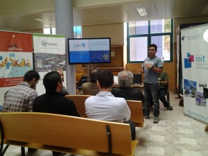
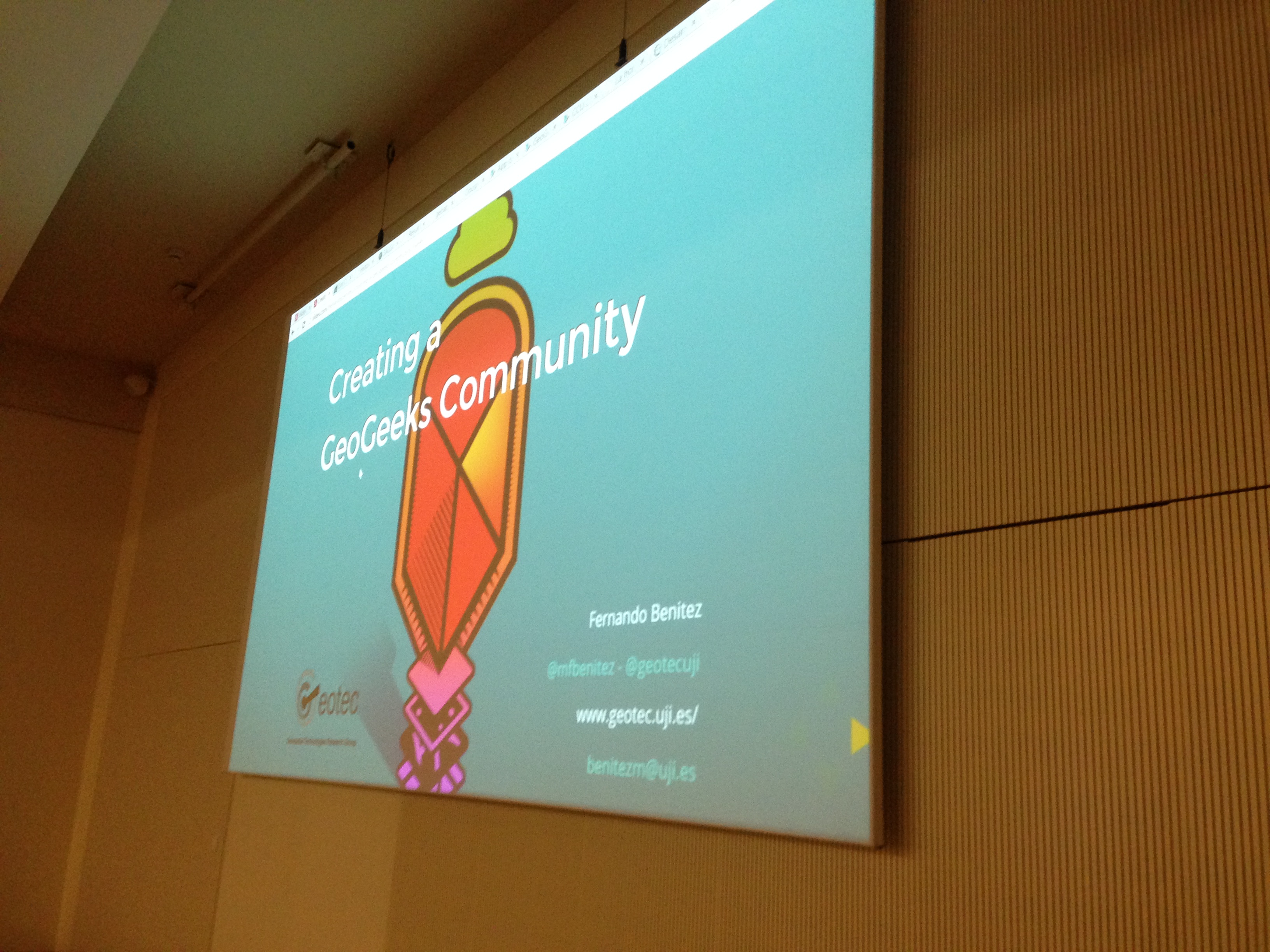
The last presentation was, Ph.D. Candidate Fernando Benitez, who presented Initiative Creating a GeoGeeks community. Presenting the last results and methodology to create a short and effective developer community in Colombia. Training more than 20 younger students and getting more than 100 applications using  Esri technology and geographic knowledge.

The conference had more than 200 people related to Esri developers resources with more than 30 parallel sessions, regarding python, Java, education tracks, and some GIS advanced topics to create solutions through Esri Technology.