Feature-centric algorithms for georeferenced video search

The paper “Feature-centric ranking algorithms for georeferenced video search” (Authors: Holger Fritze, Auriol Degbelo, Tobias Brüggentisch and Christian Kray) has been accepted for presentation at the upcoming ACM SIGSPATIAL International Conference on Advances in Geographic Information Systems!

Abstract: While it is commonplace to retrieve photos showing a particular feature (e.g. through tools such as Google Pictures or Bing Images), spatial approaches for retrieving videos showing a particular feature (e.g. a building) have yet to be established. This article proposes five ranking algorithms to query georeferenced videos for a specific feature based on the videos’ spatio-temporal metadata. 12 relevance criteria for feature-centric video ranking were compiled from a focus group discussion. From these, four criteria have been selected for implementation: “Feature Depiction”, “Feature Illumination”, “Feature Visibility Duration”, and “Distance to Feature”. These criteria were implemented in five algorithms and evaluated regarding efficiency and user perceived plausibility. The evaluation suggests that the “Feature Visibility Duration” of the video’s viewshed with the queried feature geometry offers a good trade-off between computationally performant and cognitive plausible ranking. The obtained results are relevant to user-centered approaches for interacting with georeferenced videos.
 

Publication accepted for SEMANTICS 2017!

The paper “A Snapshot of Ontology Evaluation Criteria and Strategies” by Auriol Degbelo has been accepted for presentation at the 13th International Conference on Semantic Systems.

Abstract: Ontologies are key to information retrieval, semantic integration of datasets, and semantic similarity analyses. Evaluating ontologies (especially defining what constitutes a “good” or “better” ontology) is therefore of central importance for the Semantic Web community. Various criteria have been introduced in the literature to evaluate ontologies, and this article classifies them according to their relevance to the design or the implementation phase of ontology development. In addition, the article compiles strategies for ontology evaluation based on ontologies published until 2017 in two outlets: the Semantic Web Journal, and the Journal of Web Semantics. Gaps and opportunities for future research on ontology evaluation are exposed towards the end of the paper.

PHD MASTER CLASS GEO-C

“Changing Smart Cities through Open Data”, at Zoom Smart Cities 2017, JUNE 8 2017. Webpage: http://www.zoomsmartcities.com/phd-master-class-geo-c/ 


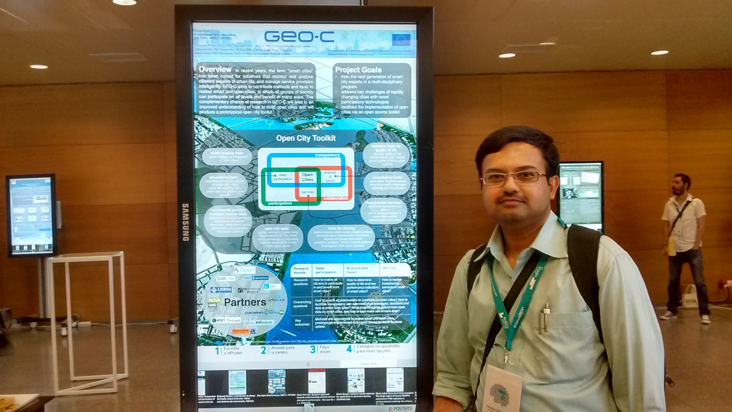
Open City Toolkit towards realizing Smart Cities: visions from GEO-C project (Devanjan Bhattacharya)


VGI, situational awareness, integration in public participation and geographic information systems and smart cities (Albert Acedo, Manuel Portela)


Multi-scale, multidimensional urban information integration, matching and visualization for smart cities (Manuel Fernando Benítez)


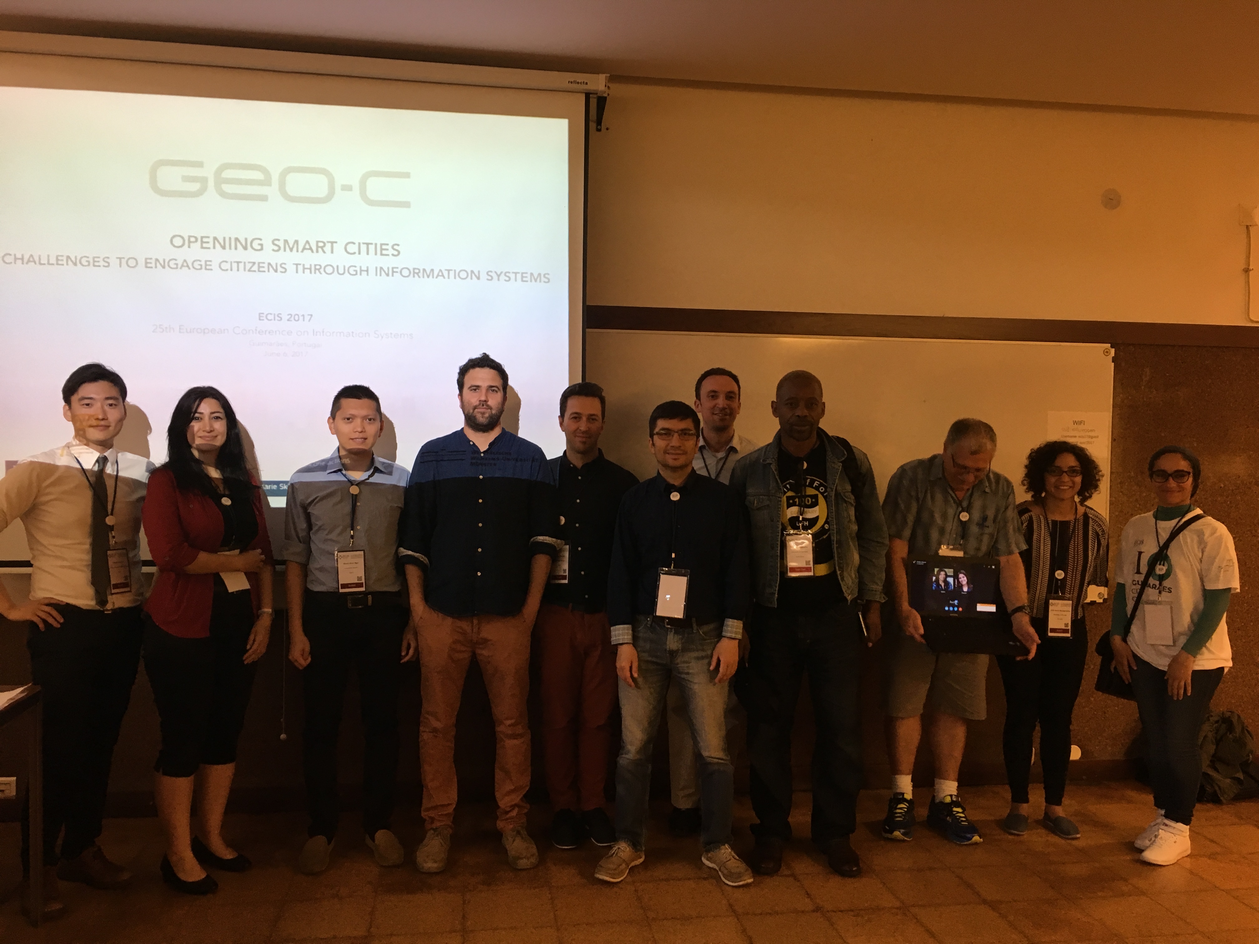
Opening Smart cities: challenges to engage citizens through information systems – ECIS workshop

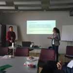
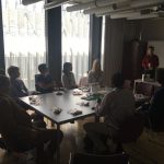
To organize a scientific event in the form of a workshop as part of the 25th European Conference on Information Systems (ECIS). ESR 01,03,04,05,06,13 and 15 gathered in Guimaraes – Portugal to discuss the topic of “Opening Smart cities: challenges to engage citizens through information systems.”

The workshop aimed to allow space for the participants and organizers to reflect on current smart cities practices and their challenges, and possible ways to address them. It was particularly emphasized by the call that the participants considered and proposed over the importance of effective citizen engagement strategies and platforms within the smart cities’ context.

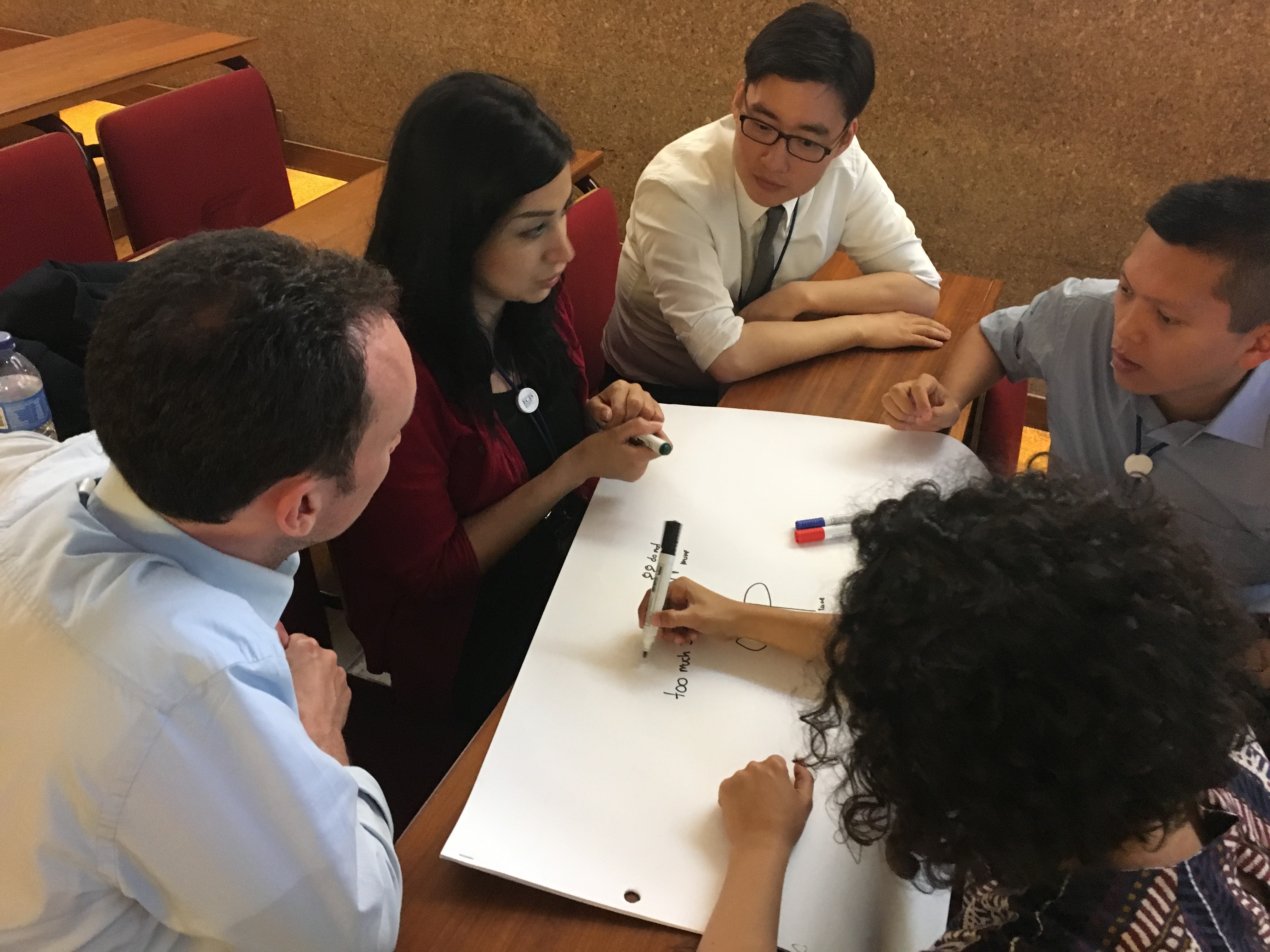
Different activities took place during the workshop: presentation session and brainstorming session. The presentations covered a broad range of topics (citizen engagement, privacy from the smart city’s point of view, participatory budget and transformation of smart and sustainable cities). After the presentations, an interactive session was built on the group discussion and brainstorming. The topics included “IoT & Privacy in smart cities,” “Openness in smart cities: challenges and impact” and “Sense of place to promote participation in smart cities.” Participants were divided into two groups, and finally, they all agreed on common issues concerning the participation of citizens in city contexts such as isolation, exclusion and lack of participation.

More information on the workshop can be found here:

http://www.ecis2017.eu/wp-content/uploads/2017/05/ECIS2017-OSC.pdf

Pictures of the workshop:


4th Workshop on geogames and geoplay co-organized by UJI Geo-C

The 20th international conference on geographic information science – Agile 2017 hosted at Wageningen, The Netherlands, was the perfect space to exchange and discuss ideas about games, playfulness, gamification and geospatial technologies at the Fourth workshop on geogames and geoplay co-organized by GEOTEC (Geo-C) and the Geogames team from University of Bamberg, the thematic focus defined for the workshop was “Gamifying the Open Smart City”.

The Five selected papers explored a wide range of concepts related to this research field, from the use of the serious games approach for gathering critical spatial thinking, an agent-based simulation framework for geogrames, to three different available geogames (NavApps, Smart Beetles, and BioDiv2Go). The hands on session allowed to shape one experiment from the GEO-C (www.geo-c-eu) european project aiming to promote cycling as a feasible commuting mode combining gamification and geographical information sciences.

Continue reading

GEO-C @CeDEM2017- E-participation in the Urban Planning Process: Challenges to be addressed by ICT

The proceedings of the 7th international conference for E-democracy and open government held at the Danube University Krems 17-19 May 2017 (CeDEM2017). It invites individuals from academic and applied background as well as business, public authorities, NGOs, NPOS and education insititution to submit papers and join the discussion on topics and issues related to e-democracy and open government.
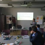
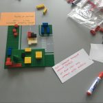
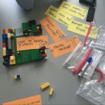
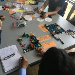
GEO-C organized an interactive workshop by using lego blocks to create self-awareness about the challenges of citizens participation through ICT in urban planning. During workshop session Lego blocks were used to represent different scenarios of public participation in the urban planning process, first at the individual level and then in groups. With the guidance of the organizers, the attendees’ discussion were mainly around the questions as follows:
  1. What are the main challenges in e-participation and smart cities to engage in the urban planning process?
  2. How ICT can facilitate citizens participation in complex scenarios that demand discussion, debate, and finally decision-making?
  3. What do people expect from e-participation platforms?
Some pictures are attached from the day:

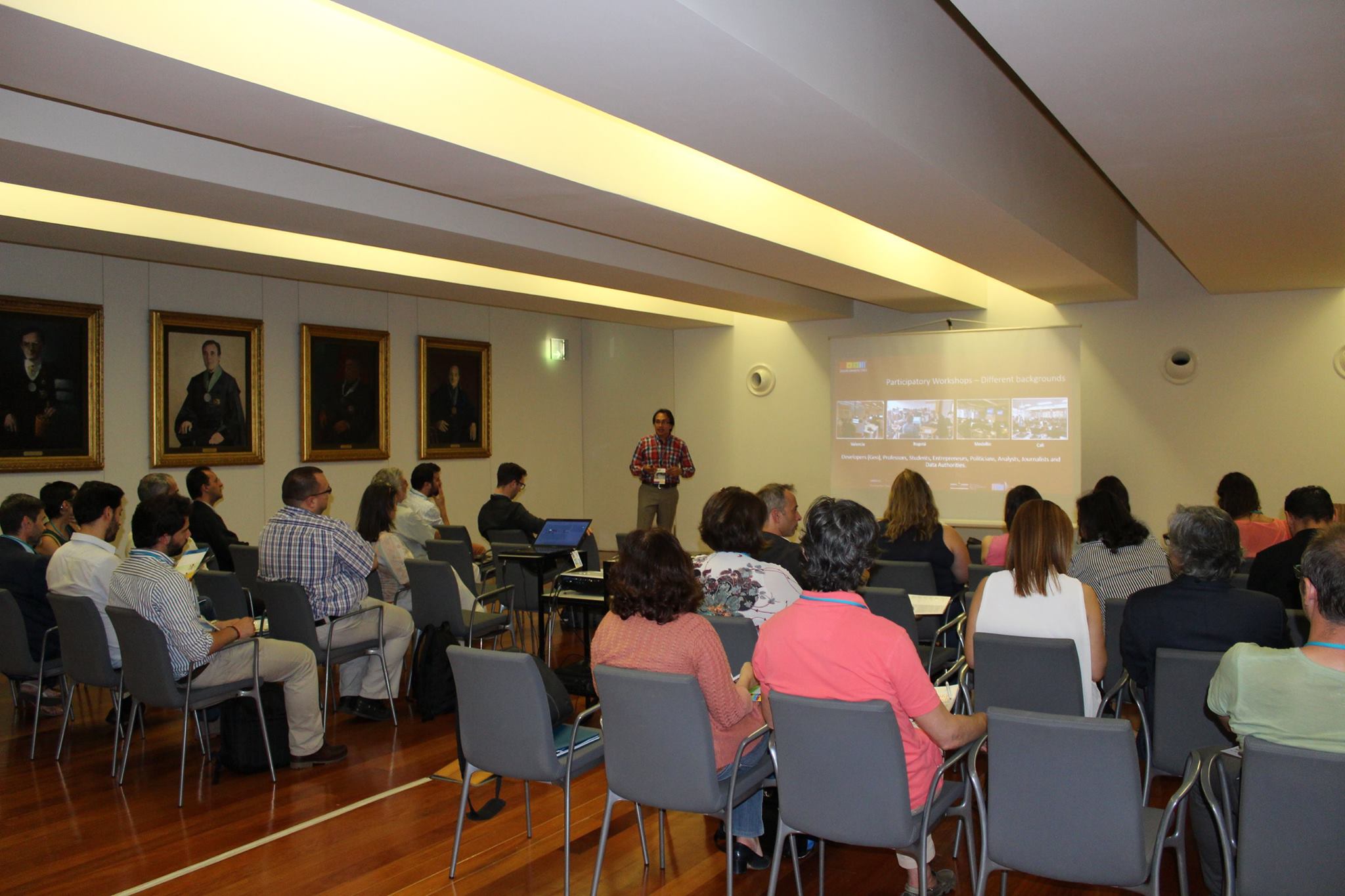
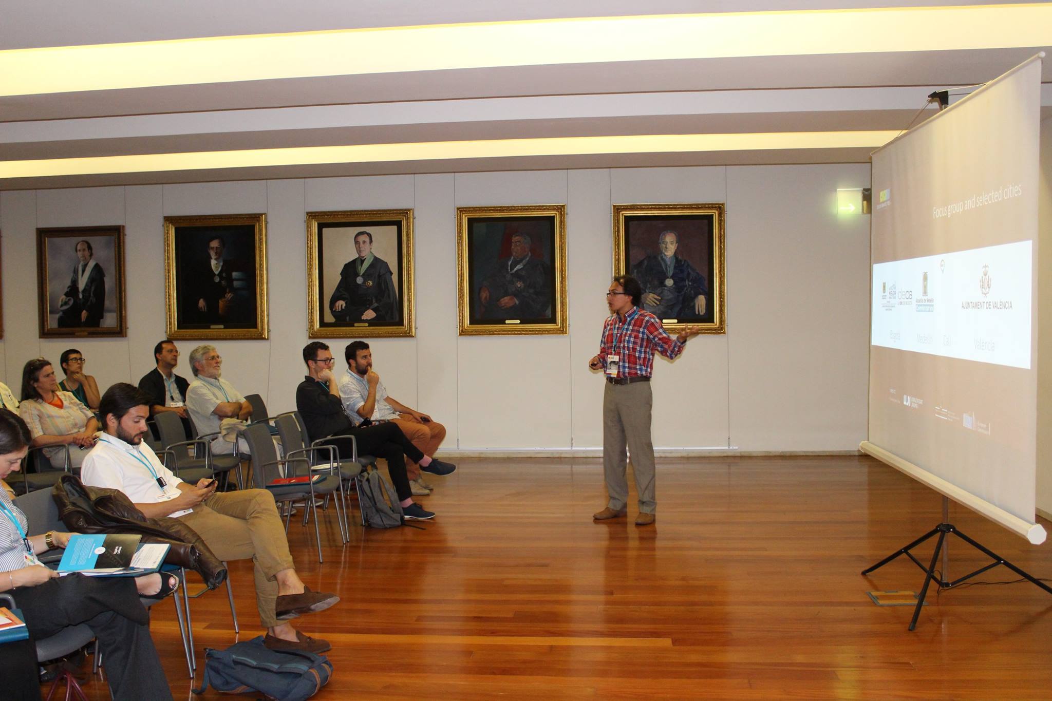
Research colloquia: “Running a virtual, cloud-based company for sensor-based air and water monitoring”

Dr. Edward Pultar is visiting one week in May. He is a former visiting scholar at UJI and founding member of Valarm.net (http://www.valarm.net/), an entirely cloud-based company managed together with his brother. How can a self-funding, bootstrapped company, manage international customers around the world? What is their business model? What is the trick? VAlarm is basically a software as a service company. Software is the main product. They sometimes sell the hardware solutions, because some customers demand a single provider to manage sw&hw together. In other cases, they create software tools, APIs and real-time dashboards for existing hardware when customers already possess their sensors. So, Valarm provides cloud-based software tools for remotely monitoring industrial IoT systems and sensors. Look at the customer stories (http://www.valarm.net/customer-stories/) for really real-life IoT deployments and successful use cases.

Continue reading

GEOC @ GEOTAG 2017

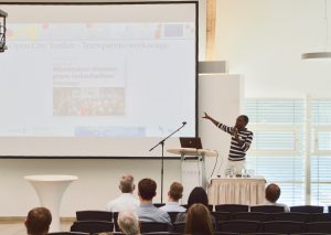
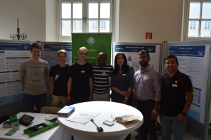
Five researchers of the GEO-C team and one from the SenseBox team attended GEOTAG 2017 which took place in Münster on May 17, 2017. GEOTAG was visited by around 300 participants and gathered various institutions (companies, city council, university) from Münsterland. The theme of the day was “Digital Society – Digital Transformation” (“Digitale Gesellschaft – Digitaler Wandel”). GEO-C presented the Open City Toolkit and set up a stand where participants gave feedback about the use of open data for private companies and products that open smart cities could find interesting. Some pictures from the day:

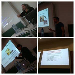
Auriol Degbelo’s presentation on the Open City Toolkit

Group picture with posters from Diego Pajarito (ESR07), Shivam Gupta (ESR08), Mehrnaz Ataei (ESR13) and the SenseBox roll up

We thank the visitors of our stand for their feedback!