GEO-C and Participation: Workshops on ‘Design Thinking’ with young refugees in Münster

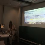
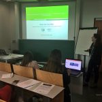
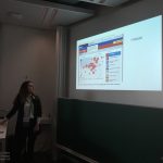
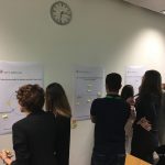
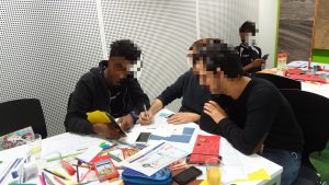
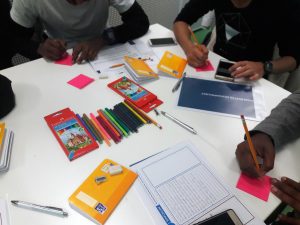
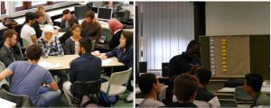
Four participatory workshops in ‘Design Thinking’ were conducted by the Geo-C team at WWU with over 18 young refugees and asylum seekers in Münster. Each of the sessions was half-day long, and they were done as extracurricular activities from the school. The workshops were held at the Institute for Geoinformatics from mid-October to mid-November, 2017. These workshops aimed to assess a set of participatory methodologies draw from a combination of elements from participatory design, participatory (action) research, and didactics to provide ‘safe spaces’ for learning and co-creation of technologies for them with young refugees and asylum seekers.

During these workshops, we also aimed to understand the awareness of young refugees and asylum seekers regarding the management of their personal and location data when they use digital services. Several exploratory methods were used for this, as well as for introducing, after the ‘exploratory’ assessment, the concept of personal and location data privacy to them. The goal of this exercise was to evaluate if such strategy modified somehow the way they ideate and design digital services to support them in their (re)settlement in Münster.

At the end of the workshops, attendance certificates for participating in the workshops in ‘Design Thinking’ were provided to the young refugees and asylum seekers who participated. All of these activities were done with the collaboration of the school staff, mainly from the school administration and teachers.
GEO-C and Participation: Workshops with young refugees in Münster

From mid-September to mid-October, 2016, the Geo-C team at WWU in Münster, Germany conducted several participatory workshops and activities with over 50 students, ages 15-18, from the International and IT classes* at school in the city.
The overall goal of these activities was to generate participatory spaces in which it was possible to identify the challenges and needs of the group of young refugees and asylum seekers, as well as a potential ICT mobile tool to guide them when using open geospatial data to address their information needs during the initial stages of their resettlement in Münster. In total, we held five workshops, one field work, and one extra hands-on session at the school. All of these activities were done with the collaboration of the school staff, particularly from the school administration  and the IT teacher and coordinator.
Some of the preliminary results were:
A) Initially identified needs of the young refugees and asylum seekers related to 1) learning the local language upon arrival, 2) the urge for establishing social contact with people from the local community, and 3) the relevancy of ICT apps which are more ‘user friendly’.
B) A set of places of importance for the young refugees and asylum seekers in the city.
C) More than 13 mock-ups done by young refugees related to a potential geospatial application which supported them upon arrival.
*This classification of the classes is the official designation from the school. The international class is constituted by students at the school who are recognized as refugees and asylum seekers.

#Python, #Javascript and #AugmentedReality the topics most mentioned in the last Esri Developers Summit Europe

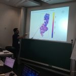
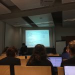
Over 300 developers, entrepreneurs, and students from several universities or research institutes found in European Esri Developer Summit the best opportunity to update their knowledge of the ArcGIS platform. From October 24 to October 26, the Berlin Congress Center was the place where they shared their developments and future projects.

Bringing the new features and capabilities of Esri developer platform, the JavaScript API versions 3x and 4x for 2D and 3D had an essential role in the plenary session. At the same time, Python and Python API for ArcGIS were demonstrated to be one of the central frameworks to developers as well as a bridge for other GI development platforms. Python is not only a powerful interface to geo-processing tools, but also a relevant scripting language for GIS administrators supporting the automatization of their administration tasks.
Jupyter and other interactive notebooks were a common factor along the parallel sessions in this event. The Esri Inc team promoted this useful tool to teach, guide and even create presentations that include Python as core language to use. The diversity of this online resource allowed users the possibility to design interactive guidelines to testing and deploying the ongoing projects and shared quickly with other colleagues.

Continue reading

PHD MASTER CLASS GEO-C

“Changing Smart Cities through Open Data”, at Zoom Smart Cities 2017, JUNE 8 2017. Webpage: http://www.zoomsmartcities.com/phd-master-class-geo-c/ 


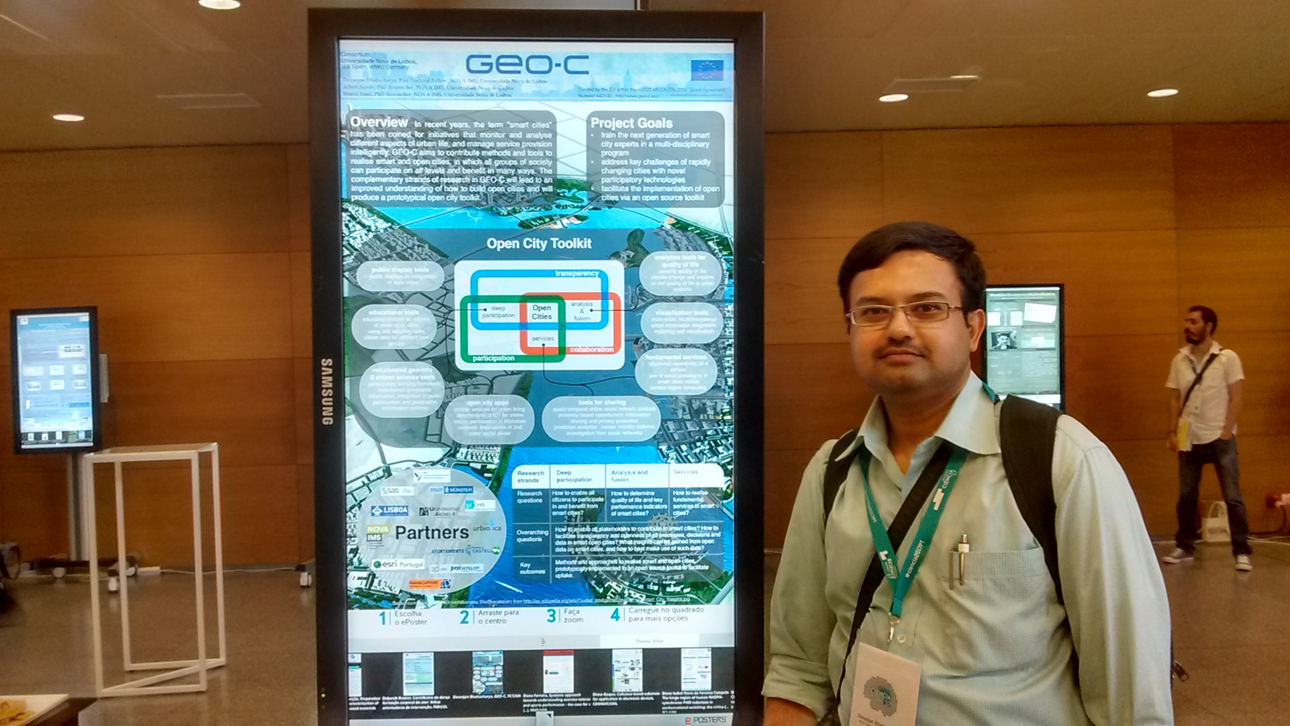
Open City Toolkit towards realizing Smart Cities: visions from GEO-C project (Devanjan Bhattacharya)


VGI, situational awareness, integration in public participation and geographic information systems and smart cities (Albert Acedo, Manuel Portela)


Multi-scale, multidimensional urban information integration, matching and visualization for smart cities (Manuel Fernando Benítez)


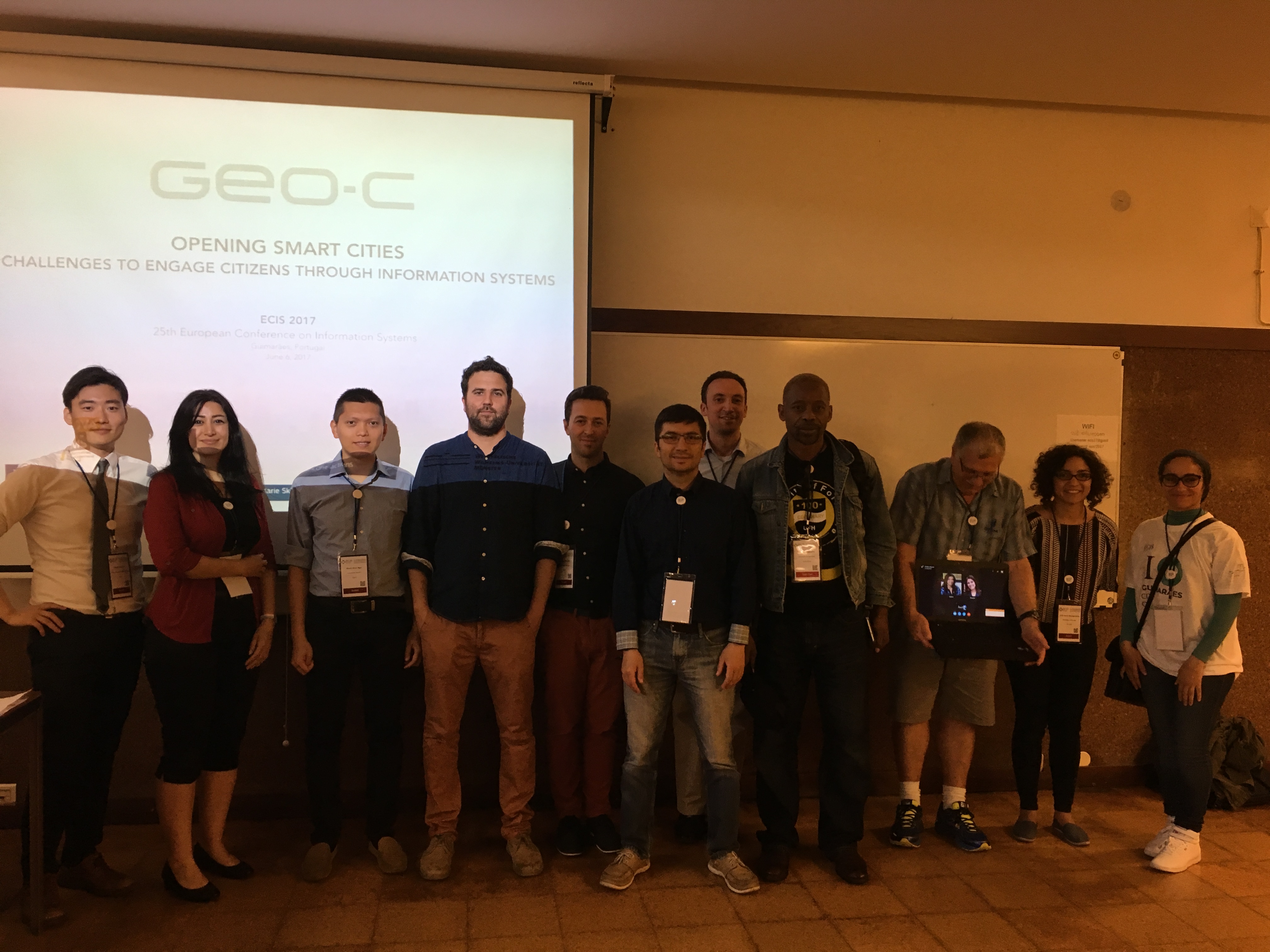
Opening Smart cities: challenges to engage citizens through information systems – ECIS workshop

To organize a scientific event in the form of a workshop as part of the 25th European Conference on Information Systems (ECIS). ESR 01,03,04,05,06,13 and 15 gathered in Guimaraes – Portugal to discuss the topic of “Opening Smart cities: challenges to engage citizens through information systems.”

The workshop aimed to allow space for the participants and organizers to reflect on current smart cities practices and their challenges, and possible ways to address them. It was particularly emphasized by the call that the participants considered and proposed over the importance of effective citizen engagement strategies and platforms within the smart cities’ context.

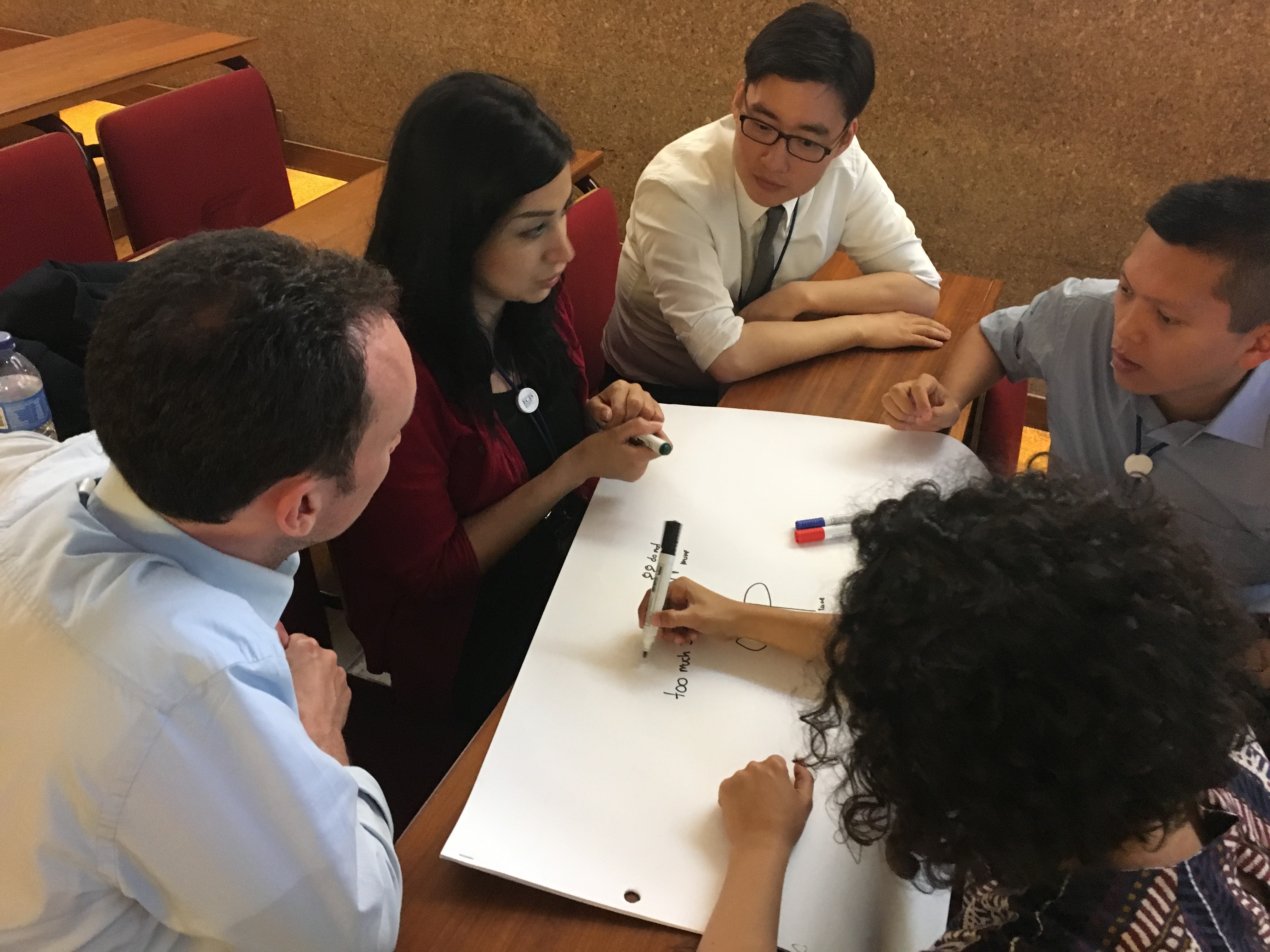
Different activities took place during the workshop: presentation session and brainstorming session. The presentations covered a broad range of topics (citizen engagement, privacy from the smart city’s point of view, participatory budget and transformation of smart and sustainable cities). After the presentations, an interactive session was built on the group discussion and brainstorming. The topics included “IoT & Privacy in smart cities,” “Openness in smart cities: challenges and impact” and “Sense of place to promote participation in smart cities.” Participants were divided into two groups, and finally, they all agreed on common issues concerning the participation of citizens in city contexts such as isolation, exclusion and lack of participation.

More information on the workshop can be found here:

http://www.ecis2017.eu/wp-content/uploads/2017/05/ECIS2017-OSC.pdf

Pictures of the workshop:


GEO-C student wins best poster award in AGILE 2017 #agilewag2017

From May 9 to May 12, 2017, in Wageningen, The Netherlands, the 20th AGILE conference took place. This year’s team: societal geo-innovation.

AGILE 2017 is the annual international conference on Geographic information science of association of geographic information laboratories in Europe. This event, organized by Wageningen University and the remarkable local committee, was an excellent opportunity to discuss the social impact of geo innovation over the past 20 years, and the most exciting and challenging topics for the next 20 years in GIScience.

With more than 200 participants AGILE 2017 had pre-conferences workshops, parallel sessions, keynote sessions, and posters session, about the most significance GIScience topics such as VIG, Data Quality, Spatial analysis, Open Data, GeoGames, smart cities and others.

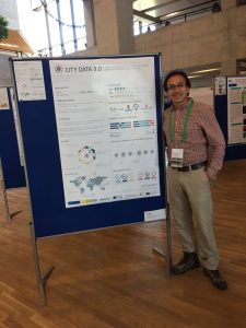
The poster session had more than 30 posters related to different topics. GeoC UJI was part of this event with two posters. Citizense – A generic user-oriented participatory sensing framework by  Manh Khoi Ngo, Luis Rodríguez and Sven Casteleyn and City Data 3.0 – A generic initiative to promote and assess the reuse of geographic information in cities – Early steps by Fernando Benitez and Joaquin Huerta. We are proud to say that the latter won the best poster award at Agile 2017!

City Data 3.0 poster presented the preliminary results of research related to the reuse and discoverability of available open data in cities. This poster shows the barriers identified in four selected cities, main data quality criteria considered by data consumers and the most valuable services and formats used for developers and analysts in Bogota, Cali, Medellin, and Valencia.


More GEO-C contributions in AGILE 2017:

  • Short Paper presentation: One tool to spatialize all – sense of place, social capital and civic engagement by Albert Acedo, Germán Martín Mendoza Silva, Marco Painho and Sven Casteleyn
  • Organization of 5th Open Data for Open Cities participatory workshop, Joaquin Huerta, Fernando Benitez, Mohammad Mehdi Moradi, Pau Aragó Galindo
  • Organization of Agile Workshop on Geogames and Geoplay, Christoph Schlieder, Miek Gould, Diego Pajarito, Ola Ahlqvist, Thomas Heinz, Peter Kiefer, Vyron Antoniou

GEO-C students organised 5th Open Data for Open Cities participatory workshop at Agile 2017 #agilewag2017

From May 9 to May 12, 2017, in Wageningen, The Netherlands, the 20th AGILE conference took place.

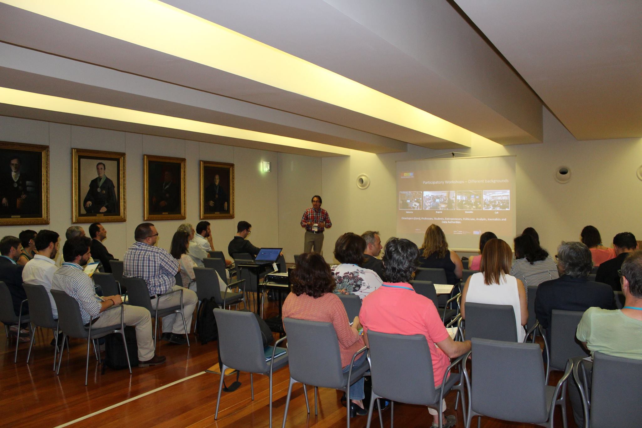
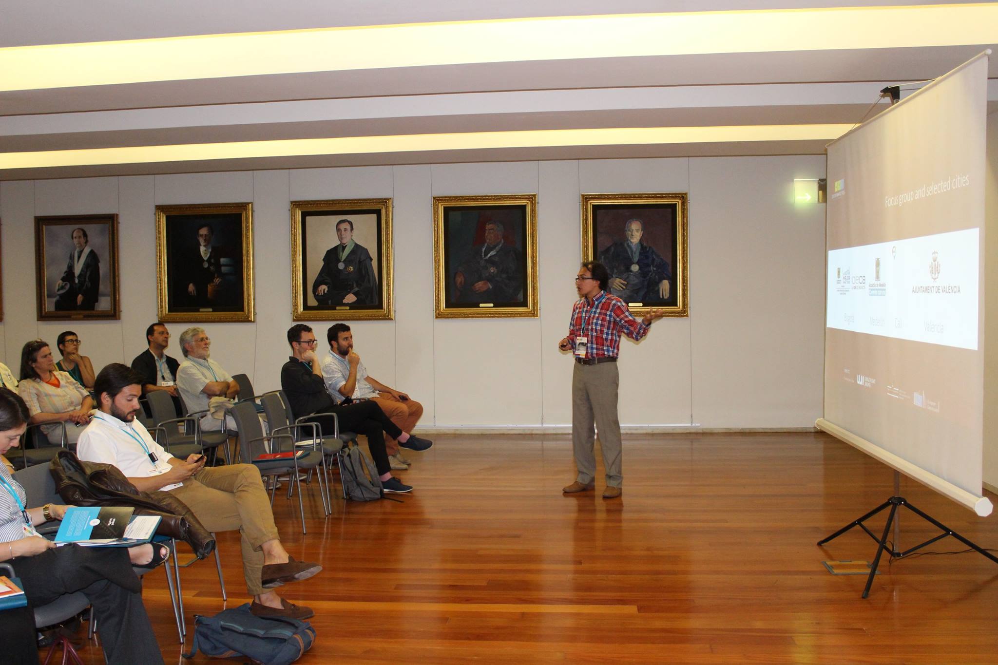
As part of the pre-conference program, GEO-C candidates  Mehdi Moradi (Esr12) and Fernando Benitez (Esr11) organized the 5th Open Data for Open Cities participatory workshop, which presented an opportunity to discuss about reuse and discoverability of open data in cities. Topics such as Crime, Disaster Management, Spatial point process and geo-portals assessment were part of the selected papers and a set of short presentations.

How data user barriers can impact the usefulness level of open data was the discussion with experts of Open Data during this workshop.  Participants included Professor Bastian van Loenen, associate professor in open data in the Department of Architecture and The Built Environment at Delft University of Technology, and Heleen Vollers, one of the authors of the last analytic report of European Data portal, who was the KeyNote speaker. Her talk about barriers and benefits of working with Open Data brought participants new insights about how several European countries and enterprises are using open data to improve their innovation level, as well as how cities should deal with barriers in data producer or consumer perspective. For more information about this presentation, you can check the workshop’s website.

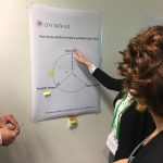
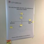
The afternoon session was more interactive, using wallpapers and some findings of City Data 3.0, participants covered three questions regarding reusing and finding open data.

  • Is the downloadable formats the effective way to promote the reuse of open data?
  • What should be the precise and efficient way to display data in open data portals?
  • Moreover, what should be the way to make the open data in cities available: through SDI portals, Open Data portals or both?

The last part of Open Data for Open Cities workshop was a point process analysis using the new methodology covered in the Ph.D. research of Mr. Moradi. Using Open Data from Medellin City in Colombia, related to car accidents, the last session was used to calculate an intensity network along streets of Medellin city. For more information about the methodology and steps to getting the results follow this link.

UJI shows the GEO-C project to two thousand students during the FIRAUJICIENCIA ’17

On April 6th, GEO-C UJI team (GEOTEC) has participated in the third edition of FIRAUJICIENCIA. There, we had the opportunity to show our project to more than around two thousand students and teachers. More than sixty workshops have filled the sports hall of the Universitat Jaume I with science. Also, GEOTEC showed other projects, like Sucre4Kids, where the students learn to program using electronic components and a visual programming language.
The scientific fair has gathered at the Universitat Jaume I students and lecturers from more than thirty educational centres throughout the province who have had the opportunity to learn more about dinosaurs, urban waste, electromagnetism, meteorites, water or robots.