Author: geoc
Framing your research to be the best story to tell. GeoC-UJI present in Agile PhD School 2017.
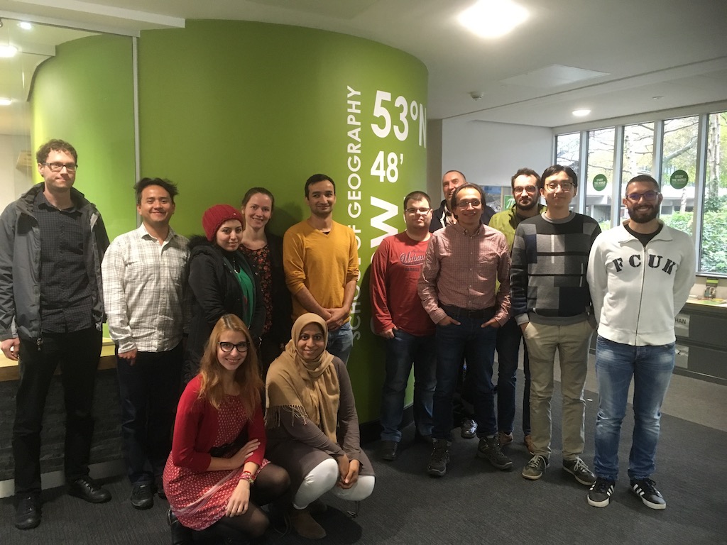
From October 30th to November 2nd, at University of Leeds – England, took place the 4th AGILE Ph.D. school.
AGILE PhD schools provide a forum for the next generation of scientists and research leaders to develop their own networks and to exchange ideas, as well as providing a set of core research skills. The Schools expose attendees to a diversity of leading-edge topic areas in GI and spatial information sciences and, critically, show them different experiences and expectations around supervision, prosecuting research.
During two days 12 PhD students – from different countries and universities – met to discuss their ongoing research, current progress, and future activities. The main goal was to develop generic research skills related to how to effectively write and post research. Each attendant should consider an effective storytelling as part of the outcomes to properly “sell” the idea that is trying to solve, framing the research problem and intermediate results obtained as part of a good story.
Diego Pajarito and Fernando Benitez from GEOTEC (GeoC project) were part of this group. In only five minutes fellows should explain what is their research about, current outcomes and how to face next steps. Students received feedback from professor Alexis Comber – who was in charge of this year PhD school – and from the rest of participants.
The agenda of the first day also had a practical session about “Agent-Based Modelling” from Nick Malleson, Associate Professor in Geographical Information Science in the School of Geography at The University of Leeds. The second day, Ian Philips – from the Institute for transportation studies – presented his talk “Minister love maps” related to trials and tribulations for an early researcher.
This school was an excellent opportunity to wrap up the basics tips and trick related to writing and posting research. Learning the fundamentals about research paper structure, as well as oral presentations, explaining why the audience should be interested in your talk, and selection of useful literature required were also considered.
For more information, about the AGILE Ph.D. School, visit https://agile-online.org/index.php/initiatives/current-initiatives/phd-school
#Python, #Javascript and #AugmentedReality the topics most mentioned in the last Esri Developers Summit Europe
Over 300 developers, entrepreneurs, and students from several universities or research institutes found in European Esri Developer Summit the best opportunity to update their knowledge of the ArcGIS platform. From October 24 to October 26, the Berlin Congress Center was the place where they shared their developments and future projects.
Bringing the new features and capabilities of Esri developer platform, the JavaScript API versions 3x and 4x for 2D and 3D had an essential role in the plenary session. At the same time, Python and Python API for ArcGIS were demonstrated to be one of the central frameworks to developers as well as a bridge for other GI development platforms. Python is not only a powerful interface to geo-processing tools, but also a relevant scripting language for GIS administrators supporting the automatization of their administration tasks.
Jupyter and other interactive notebooks were a common factor along the parallel sessions in this event. The Esri Inc team promoted this useful tool to teach, guide and even create presentations that include Python as core language to use. The diversity of this online resource allowed users the possibility to design interactive guidelines to testing and deploying the ongoing projects and shared quickly with other colleagues.
Publication accepted for UrbanGIS2017 – Linked Data and Visualization: Two Sides of the Transparency Coin!
The paper “Linked Data and Visualization: Two Sides of the Transparency Coin” by Auriol Degbelo has been accepted for presentation at the upcoming UrbanGIS Workshop on Smart Cities and Urban Analytics.
Abstract: Transparency is an important element of smart cities, and ongoing work is exploring the use of available open data to maximize it. This position paper argues that Linked Data and visualization play similar roles, for different agents, in this context. Linked Data increases transparency for machines, while visualization increases transparency for humans. The work also proposes a quantitative approach to the evaluation of visualization insights which rests on two premises: (i) visualizations could be modelled as a set of statements made by authors at some point in time, and (ii) statements made by experts could be used as ground truth while evaluating how much insights are effectively conveyed by visualizations on the Web. Drawing on the linked data rating scheme of Tim Berners-Lee, the paper proposes a five-stars rating scheme for visualizations on the Web. The ideas suggested are relevant to the development of techniques to automatically assess the transparency level of existing visualizations on the Web.
Feature-centric algorithms for georeferenced video search
The paper “Feature-centric ranking algorithms for georeferenced video search” (Authors: Holger Fritze, Auriol Degbelo, Tobias Brüggentisch and Christian Kray) has been accepted for presentation at the upcoming ACM SIGSPATIAL International Conference on Advances in Geographic Information Systems!
Abstract: While it is commonplace to retrieve photos showing a particular feature (e.g. through tools such as Google Pictures or Bing Images), spatial approaches for retrieving videos showing a particular feature (e.g. a building) have yet to be established. This article proposes five ranking algorithms to query georeferenced videos for a specific feature based on the videos’ spatio-temporal metadata. 12 relevance criteria for feature-centric video ranking were compiled from a focus group discussion. From these, four criteria have been selected for implementation: “Feature Depiction”, “Feature Illumination”, “Feature Visibility Duration”, and “Distance to Feature”. These criteria were implemented in five algorithms and evaluated regarding efficiency and user perceived plausibility. The evaluation suggests that the “Feature Visibility Duration” of the video’s viewshed with the queried feature geometry offers a good trade-off between computationally performant and cognitive plausible ranking. The obtained results are relevant to user-centered approaches for interacting with georeferenced videos.
Publication accepted for SEMANTICS 2017!
The paper “A Snapshot of Ontology Evaluation Criteria and Strategies” by Auriol Degbelo has been accepted for presentation at the 13th International Conference on Semantic Systems.
Abstract: Ontologies are key to information retrieval, semantic integration of datasets, and semantic similarity analyses. Evaluating ontologies (especially defining what constitutes a “good” or “better” ontology) is therefore of central importance for the Semantic Web community. Various criteria have been introduced in the literature to evaluate ontologies, and this article classifies them according to their relevance to the design or the implementation phase of ontology development. In addition, the article compiles strategies for ontology evaluation based on ontologies published until 2017 in two outlets: the Semantic Web Journal, and the Journal of Web Semantics. Gaps and opportunities for future research on ontology evaluation are exposed towards the end of the paper.
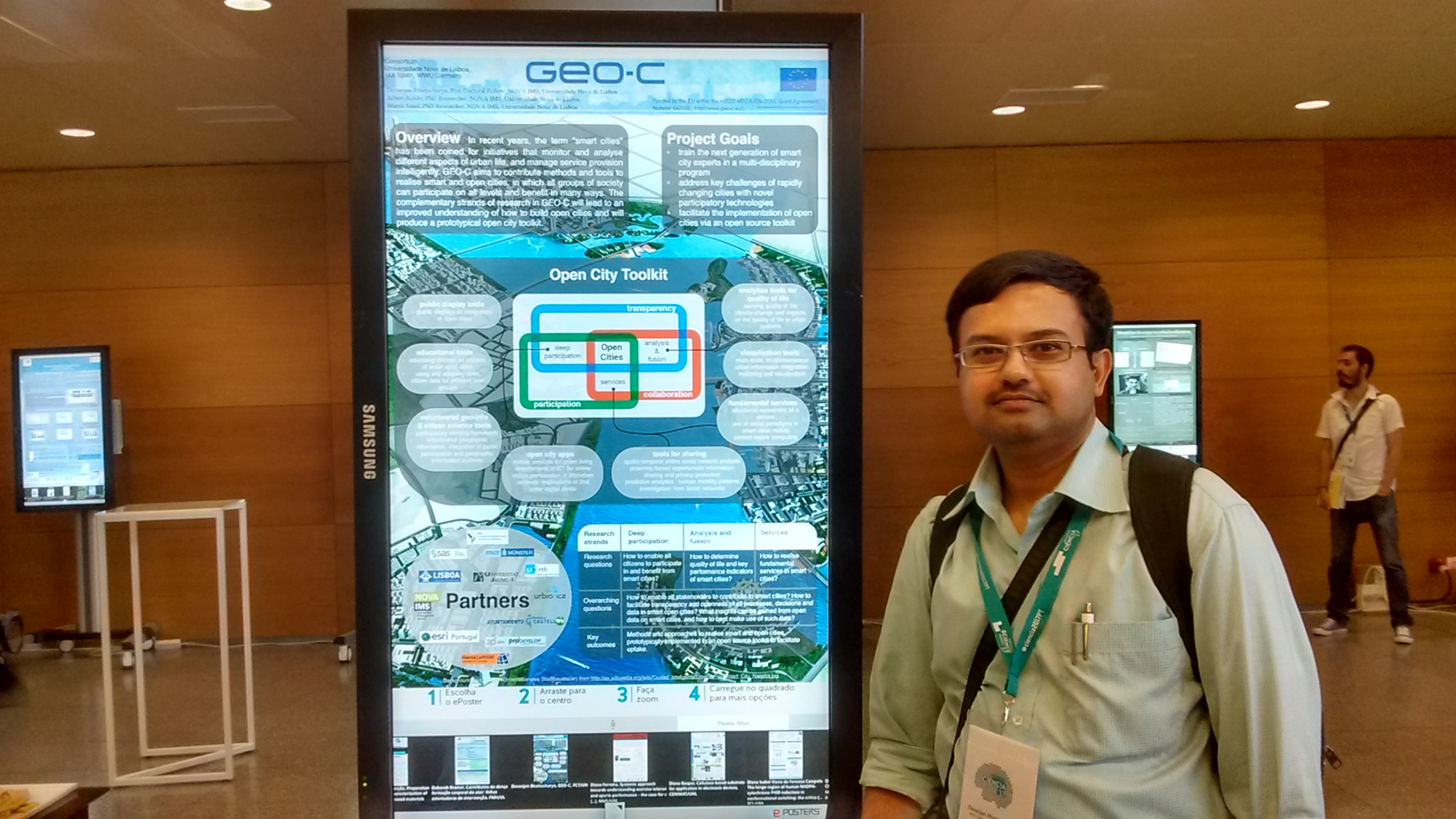
GEO-C at Portugal Science and Technology Fair 2017
The annual science and technology fair of Portugal (http://encontrociencia.pt/home/) from 3-5 July 2017 at Lisbon. Our research GEO-C was poster presented.
PHD MASTER CLASS GEO-C
“Changing Smart Cities through Open Data”, at Zoom Smart Cities 2017, JUNE 8 2017. Webpage: http://www.zoomsmartcities.com/phd-master-class-geo-c/
Open City Toolkit towards realizing Smart Cities: visions from GEO-C project (Devanjan Bhattacharya)
VGI, situational awareness, integration in public participation and geographic information systems and smart cities (Albert Acedo, Manuel Portela)

Multi-scale, multidimensional urban information integration, matching and visualization for smart cities (Manuel Fernando Benítez)
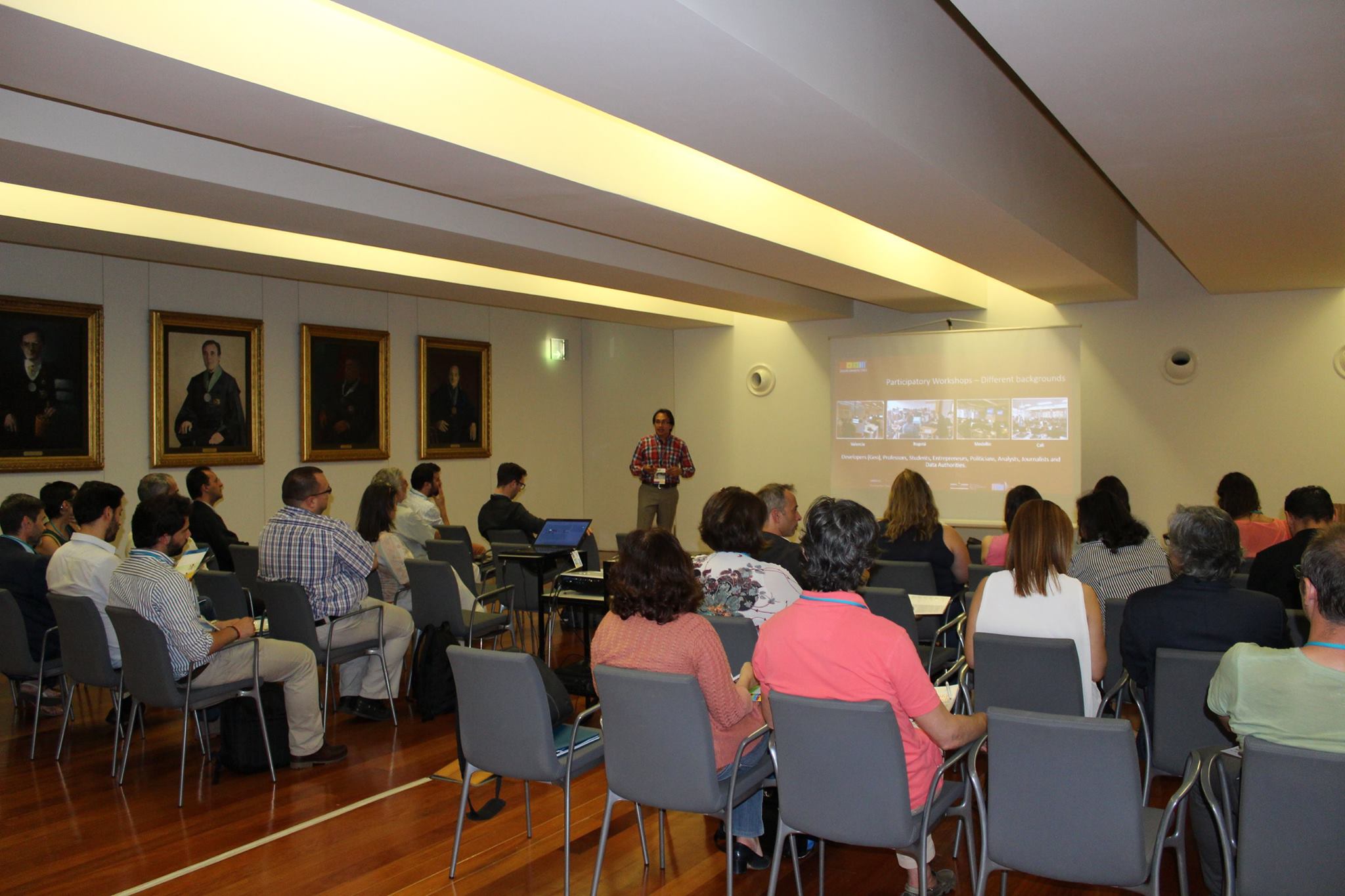
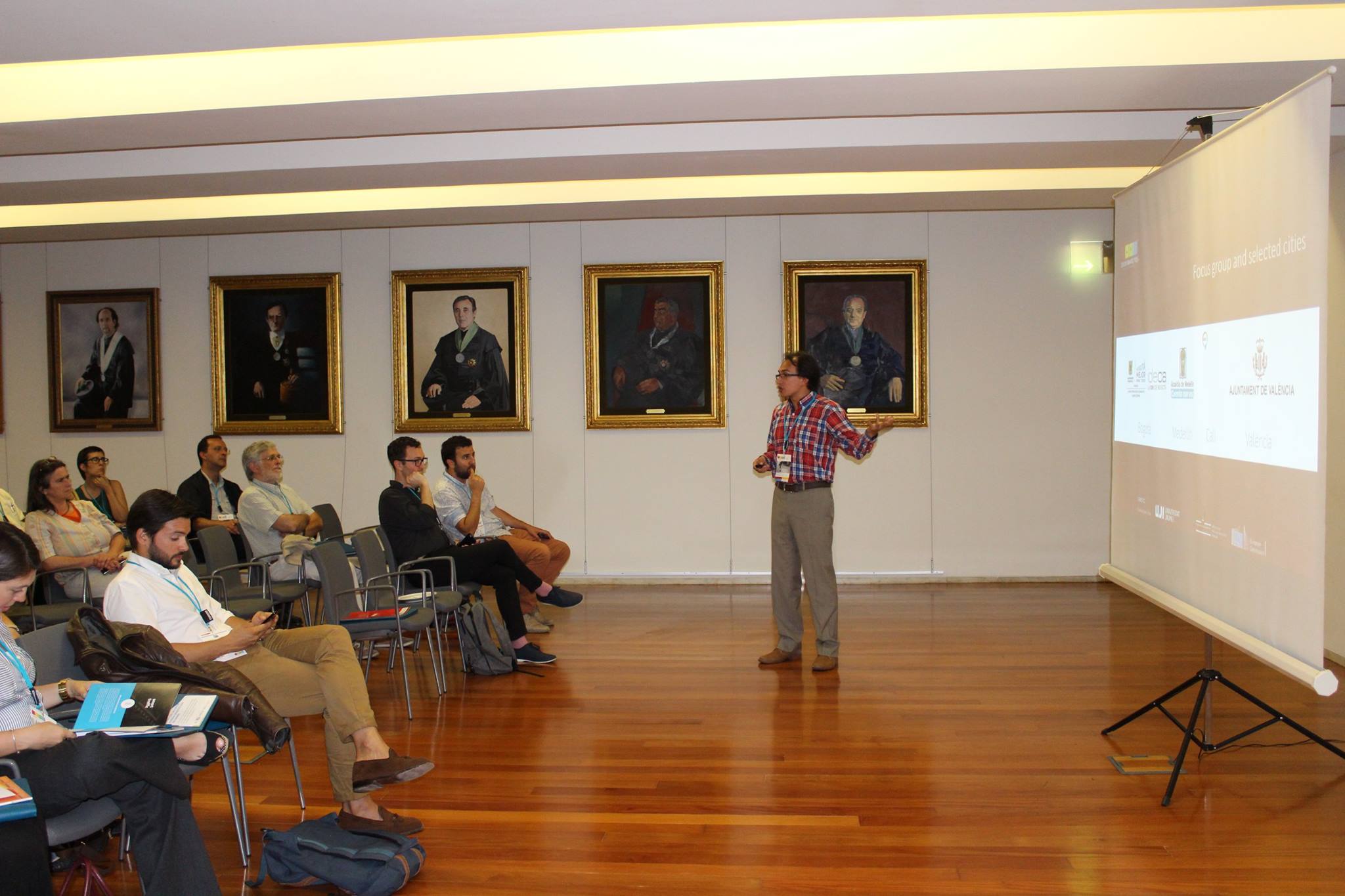
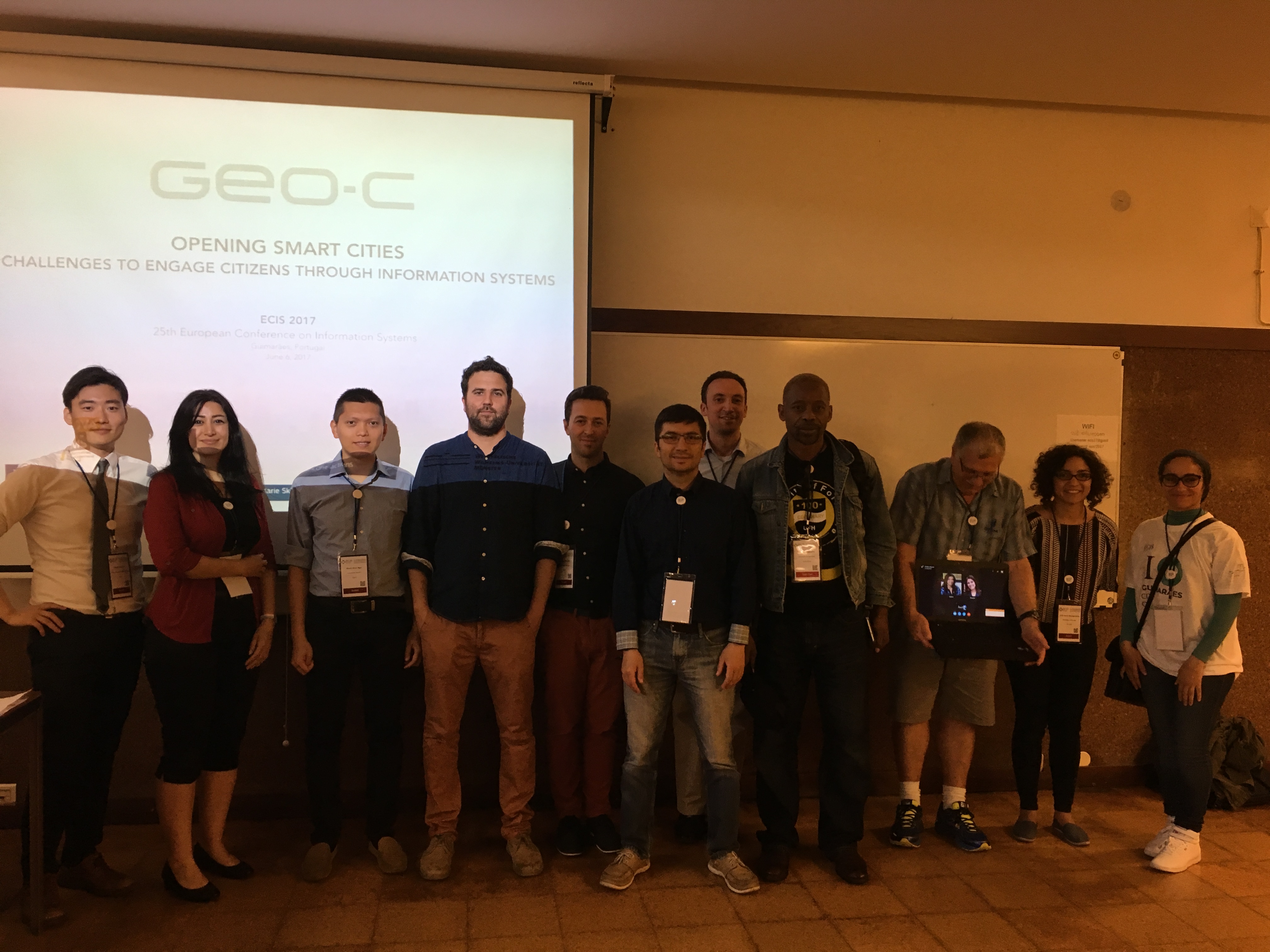
Opening Smart cities: challenges to engage citizens through information systems – ECIS workshop
To organize a scientific event in the form of a workshop as part of the 25th European Conference on Information Systems (ECIS). ESR 01,03,04,05,06,13 and 15 gathered in Guimaraes – Portugal to discuss the topic of “Opening Smart cities: challenges to engage citizens through information systems.”
The workshop aimed to allow space for the participants and organizers to reflect on current smart cities practices and their challenges, and possible ways to address them. It was particularly emphasized by the call that the participants considered and proposed over the importance of effective citizen engagement strategies and platforms within the smart cities’ context.
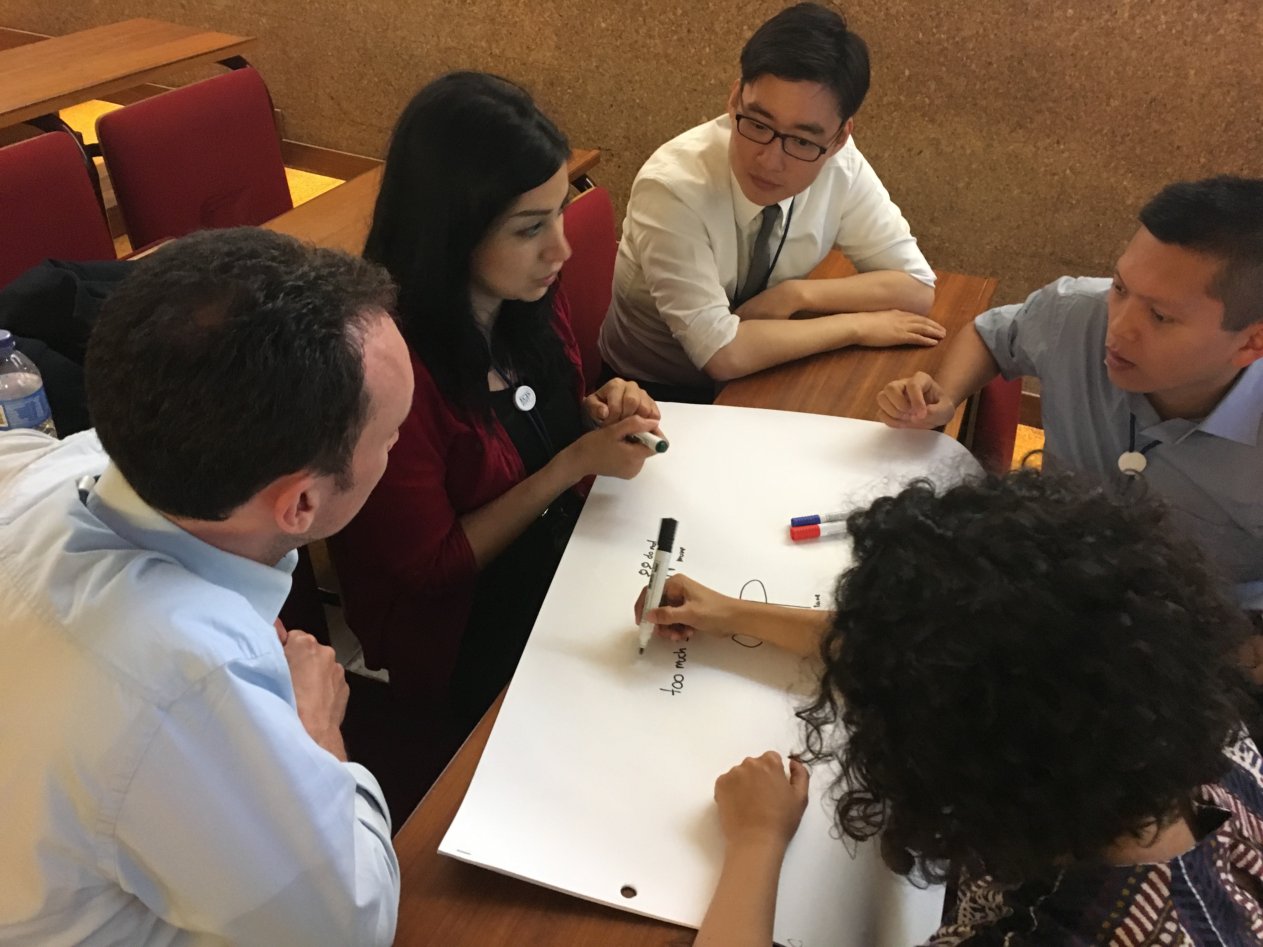
Different activities took place during the workshop: presentation session and brainstorming session. The presentations covered a broad range of topics (citizen engagement, privacy from the smart city’s point of view, participatory budget and transformation of smart and sustainable cities). After the presentations, an interactive session was built on the group discussion and brainstorming. The topics included “IoT & Privacy in smart cities,” “Openness in smart cities: challenges and impact” and “Sense of place to promote participation in smart cities.” Participants were divided into two groups, and finally, they all agreed on common issues concerning the participation of citizens in city contexts such as isolation, exclusion and lack of participation.
More information on the workshop can be found here:
http://www.ecis2017.eu/wp-content/uploads/2017/05/ECIS2017-OSC.pdf
Pictures of the workshop:


