Smart City Expo, perspective from geospatial researchers

Attending the Smart City Expo World Congress (SCEWC) is a common desire within ITC-related professionals and researchers, you find in a single place all commercial solutions, some customers showing their own experience with Smart City projects, some Experts discussing about future trends, and academics interested on meeting “Real” products to feed their own research.

img_8689 img_8688

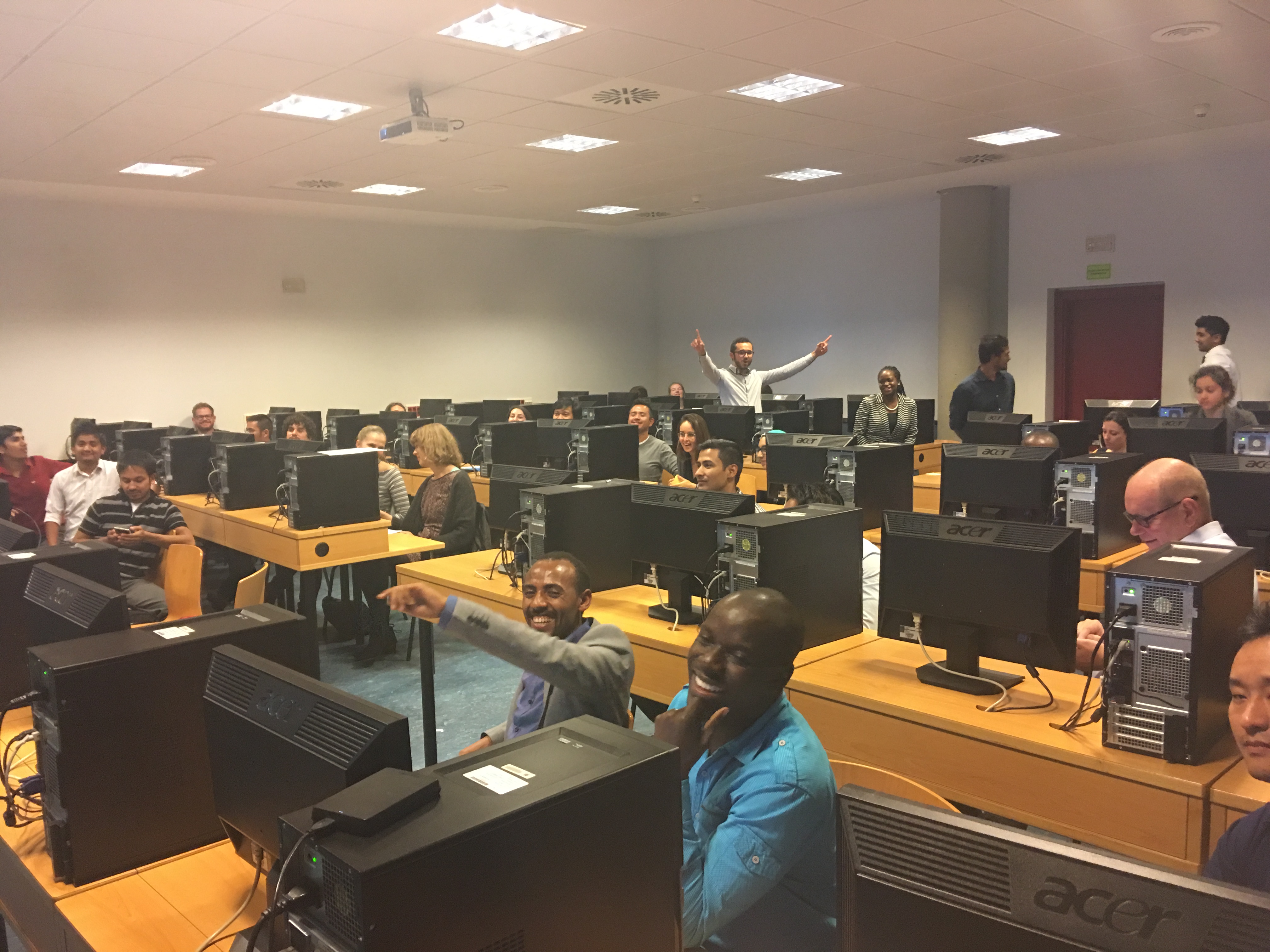
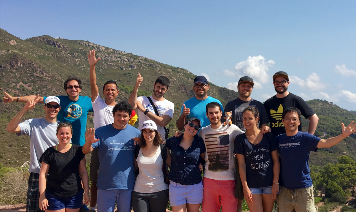
Between thousands of attendees there were seven Geotec members walking through Europa Fira, listening to interesting and motivational speeches, while digging into multiple ideas from entrepreneurs, local government agents, young researchers and well-known companies.

Most remarkable issues there at the Expo were related to:circular economy, sustainable mobility, open data and artificial intelligence. Regarding there were…

Discussion about Sustainable Mobility was a full track on the agenda, and walking/cycling experiences were presented everywhere, a mix of mobile apps, infrastructure plan, sharing/rented projects were presented. Main tendency is to have less private individual vehicles and more public and shared bicycles, therefore cycling infrastructure will be part of this transformation. The session “Walkable and cyclable cities” easily resumes those innitiatives.

SCEWC2016 offered a rich set of keynote speakers, but Parag Kanna’s presentation about connected cities had an important effect on attendees, his map-based speech showed future trends on urbanization and development of future cities (also smart). With a global view of connections he explained briefly how the world is showing us tendencies that must be attended, with his web tool those tendencies could be explored and analyzed.

Another interesting Keynote, gave by Susan Etlinger, was about how Artificial Intelligence and Machine Learning can be implemented in new solutions for cities, enhancing new developments such as image recognition, self-driving cars and conversational assistants.

Finally, the importance of sharing economy and governance of the city commons was presented by David Bollier. This alternative forms of creating economical development is rising on cities like Barcelona, looking to strengthen local business and entrepreneurship.

2016-11-17-jpg

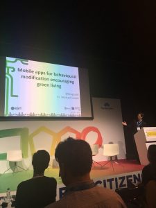
Prof. Michael Gould presented the preliminary results of the ESR07 project in the “Solutions for More Inclusive and Participative Cities (elevator pitch format)” track.

A full three days event is always exhausting, but attending during different days as a group will allow to identify multiple trends and development, this exercise helped Geotec on having a global look at state-of-the-art commercial solutions for Smart Cities.

ESR were also in contact with local partners from the program. Castellón City Hall representatives were present at the event, looking for solutions to improve the city. Also ESR15 shared experiences in the Urbiotica’s stand, who presented its solution to different stakeholders.  

(*) Geotec Researches who attended the Smart City Expo: Fernando Benitez (ESR11), David Frias,  Khoi Ngo (ESR06), Diego Pajarito (ESR07), Manuel Portela (ESR15), Luis Rodriguez, Sergi Trilles, Michael Gould.


Open Data for Open Cities GeoC Workshop in Geomundus conference

img_5339From November 4 to November 5, 2016, GeoC – UJI led Open Data for Open cities participatory workshop related to Open Data and its use. This activity  was held in last Geomundus conference that took a place last weekend in Castellon de la Plana – Spain.

With over 30 students from the consortium of Erasmus Mundus (EM) International Master’s program in Geospatial Technologies (Nova University, Munster University, UJI University) and also Geomundus keynote speaker Richard Sliuzas from Twente University,  topics such as available open data, re-use barriers and engagement mechanisms of cities open data portals were talked during this activity.

The overall aim of this workshop was to identify and discuss how open data consumer search and use open data services for a specific application. The activities made during this activity were:

Continue reading

GeoTec Group and GeoC UJI presented several talks in last Esri Spain user conference.

img_7288 From October 26 to October 27, was held at Madrid the last Esri Spain User conference, the main event of Esri Spain company which meet together their customers, professors, some partners and students related to, GIS, smart Cities, Open Data, and GI applications that use Esri Technology.

During this couple of days, the Geotec research group and GeoC UJI presented several talks related to their projects and initiatives. Education track was the place to meet with some professors, Esri Master program students, and other people interested with the progress and success stories related to educations and GIS applications.

David Frias, who led the talks called, “NavApps: Un juego móvil para mejorar las habilidades espaciales en la ESO”, was the initial talk for GeoTec research group, Whom presented the process made for ENAbLE project. NavApps project is a geo-game with APP/Web application to improve the spatial skills of children from 12 to 16 years old, which is also part of ENAbLE project.

Continue reading

GeoC UJI and Nova were part of GeoMundus 2016 conference.

panel

From November 4 to November 7, 2016, Geomundus an international symposium on Geography, Earth and Environmental Studies, held by the students from the consortium of Erasmus Mundus (EM) International Master’s program in Geospatial Technologies.

This year GEO-C: Enabling Open Cities project, funded in the Marie Curie International Training Networks (ITN) program was also part of this conference. The conference took a place in Castellón, Spain.

Geo-C team at UJI University, Spain; and Geo-C Nova, Lisboa; conducted several talks to share their current research progress as well as a participatory workshop called Open Data for Open Cities (leaded by Esr11) with over 30 students from the International Master Program.

Continue reading

GeoC – Spain, present in Vespucci Initiative 2016. Sensors, Smart Cities, Open Data and Mobility.

vespucciDuring the week September 5 to 9, 2016 in Benicassim – Spain, took place the second week of the Vespucci initiative, about sensors and mobile applications for smart cities. Where GeoC in Spain attended.

This summer school had as facilitators, as Michael Gould (Universitat Jaume I), Christian Sailer (ETH Zurich), Steve Liang (University of Calgary), Thomas Bartoschek (University of Münster).

With attenders of several countries such as Colombia, Spain, Switzerland, Greece, Germany, Cuba, Portugal. We had the opportunity to face interesting discussions of different topics, for instance, the real problem that we want to solve in our research topic, a business model for research projects, education and mobile learning, sensors, all those topics were covered using small groups for productive results and improve the local experiences.

Continue reading

GeoC and GeoTec UJI was part of Esri Developer  Summit Europe 2015.


From November 10 to November 12, was held in Berlin the last Esri Developers summit in Europe, the main developer event of Esri in Europe which meet together with their customers, professors, some partners and students related to, GIS,  Developers, and GI applications that use Esri Technology.

During this couple of days, the Geotec research group and GeoC UJI presented two talks related to their projects and initiatives. The initial presenter was Dr. Pr Francisco Ramos, who presented Picfeel“, Using a funny and engage lightning talk, engage the audience explaining the mapping and visualization of the feeling of people, using GIS analysis and Psychology research.

The last presentation was, Ph.D. Candidate Fernando Benitez, who presented Initiative Creating a GeoGeeks community. Presenting the last results and methodology to create a short and effective developer community in Colombia. Training more than 20 younger students and getting more than 100 applications using  Esri technology and geographic knowledge.

The conference had more than 200 people related to Esri developers resources with more than 30 parallel sessions, regarding python, Java, education tracks, and some GIS advanced topics to create solutions through Esri Technology.