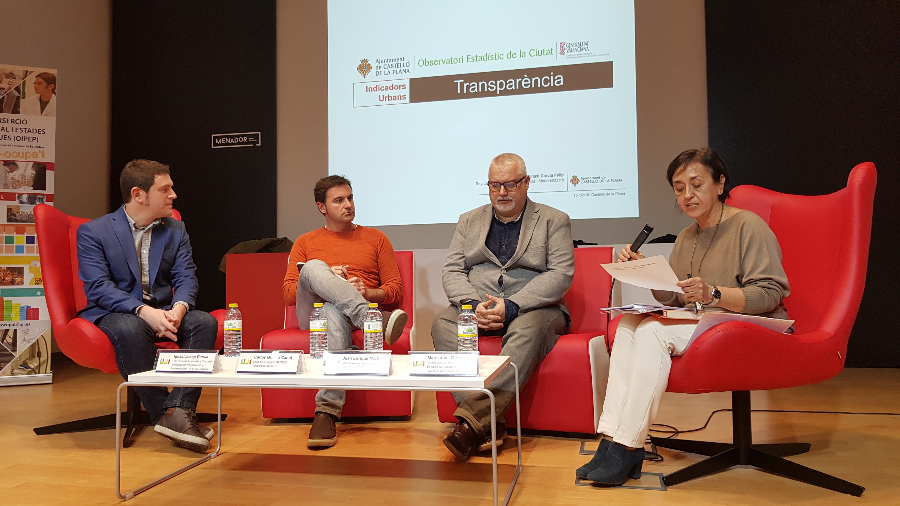
0The 7 th edition of the “Jornadas del Observatorio de Empleo universitario”, a workshop dedicated for the university employment observatory, took place in the Menador, a new building
in the city center shared by the University and the City Council. Carlos was invited to participate as a panellist in the panel called “Use and diffusion of data of employment insertion data: case of university graduates”. The scenery was fantastic: 3 panellists and the facilitator (right-most person below) in comfortable armchairs like talk shows that we usually watch on TV.
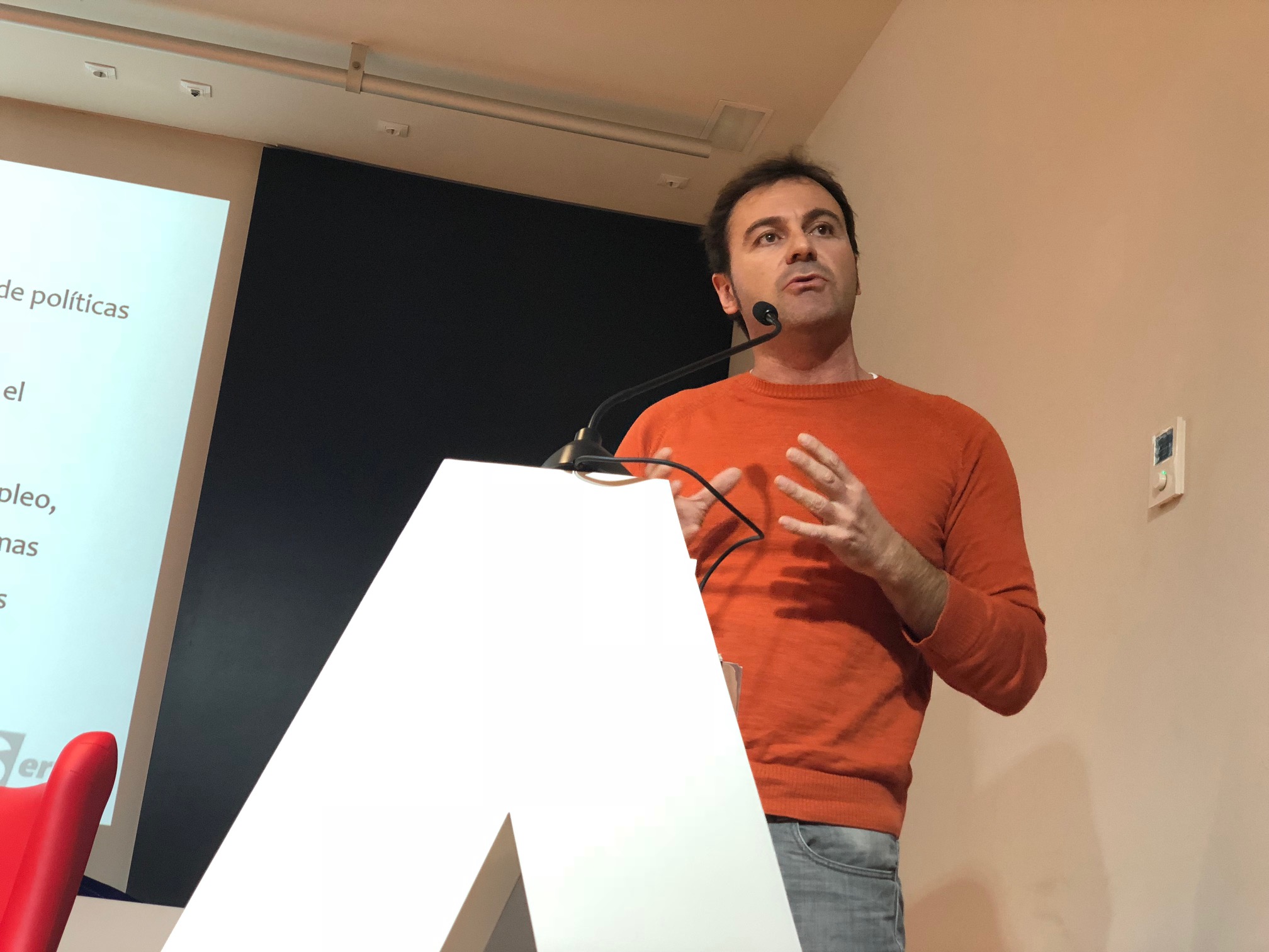
I tried to transmit 3 basic ideas to the audience, mostly university technicians who were expert in crafting questionnaires and analysing employment data.
The first idea was to tell audience our first-hand experience with management of research data and related research resources in the realm of the GEO-C project. As the project is part of the EC’s Open Data Pilot, we wrote and periodically update a Data Management Plan (DMP), a document that describe what datasets and resource we produce, what format we use to encode them, in what repositories we publish them, licences choice, etc. However, my point was that publishing research results (papers, dataset) as such in an institutional repository or elsewhere (Zenodo, etc) is not sufficient. This is certainly a first step. What we need is more added-value services, apps and tools to move from a mere access to data to service for easing the interpretation of data. That’s one of the main objective of the recently started project “OpenAIRE-Advance”, a follow-up of the OpenAIRE project to create and consolidate a sort of “European Open Science Observatory”. Again, the term observatory stands out.
The second idea was to make explicit the key role and importance of geospatial data in contextualising and interpreting data, regardless its nature and type. EC already recognised the importance of geospatial data, and so the national standardisation agency by means of (at least) two UNE norms: UNE 178301:2015 “Smart Cities. Open Data” and UNE 148004:2018 “Geographic Information – Open geographic data”. Geospatial data has the ability to glue disparate datasets, and information sources from distinct departments and/or institutions, which makes a lot of sense for establishing city open data platforms, for instance. And also for employment data, as technicians would surely be happy to look at this data with a fresh view, projecting it onto a map to re-interpret employment data and explain how it changes and evolves linked to the territory.
The third and last idea was a call to data providers: Hey, we, researchers, are more than happy to consume and use your open data, be city data, employment data or whatever else. Quid pro quo: we kindly contribute by publishing again derived and /or aggregated results into public repositories for the public benefit of citizens. This is not about technology: it is about a cultural mindshift.