 From October 26 to October 27, was held at Madrid the last Esri Spain User conference, the main event of Esri Spain company which meet together their customers, professors, some partners and students related to, GIS, smart Cities, Open Data, and GI applications that use Esri Technology.
During this couple of days, the Geotec research group and GeoC UJI presented several talks related to their projects and initiatives. Education track was the place to meet with some professors, Esri Master program students, and other people interested with the progress and success stories related to educations and GIS applications.
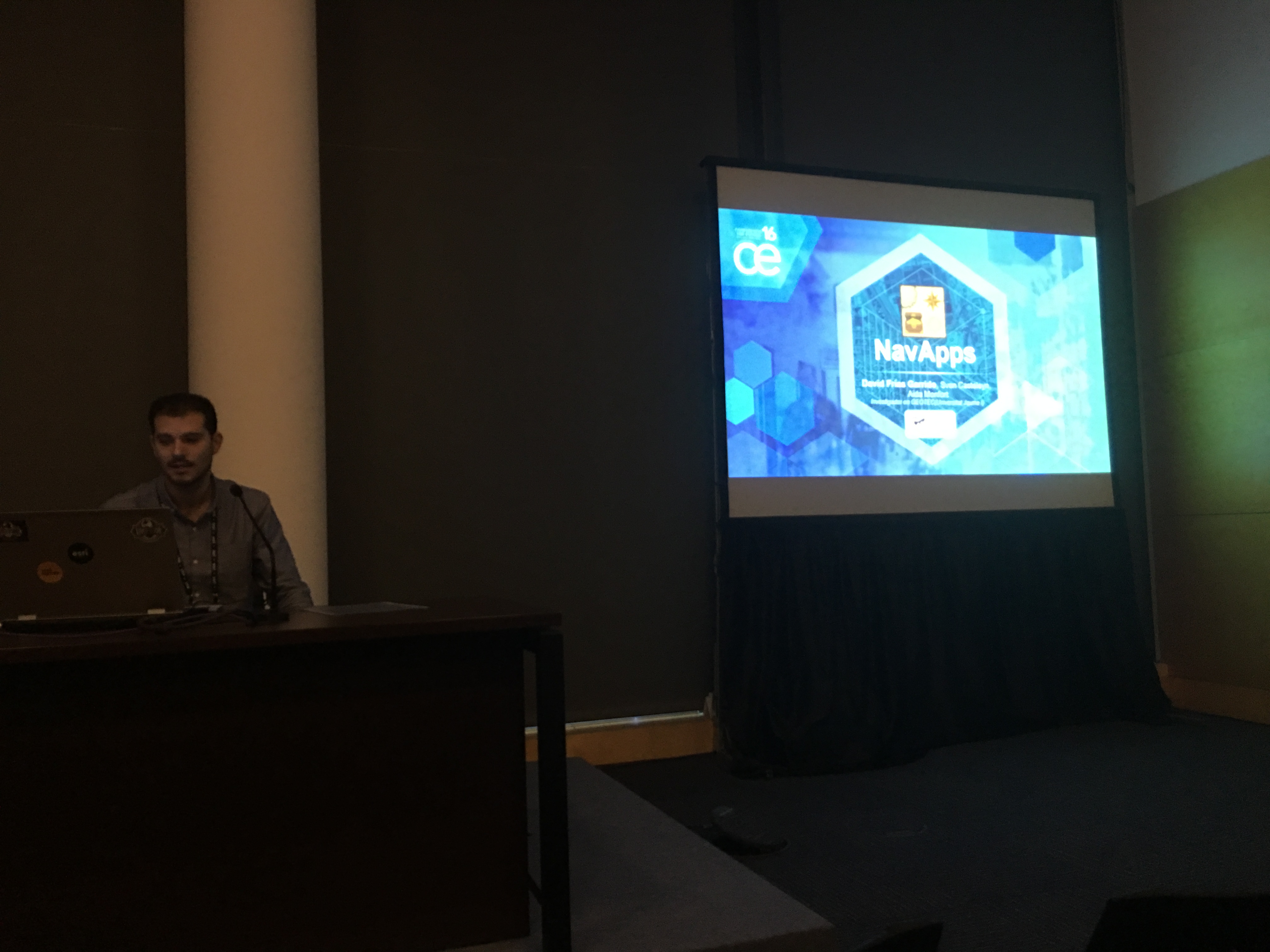
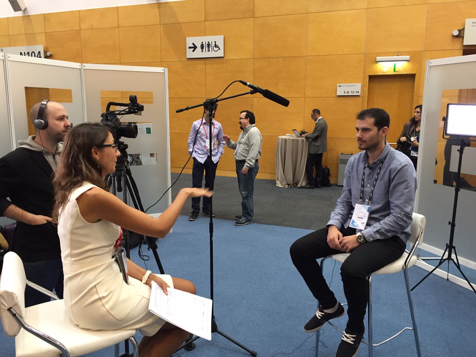
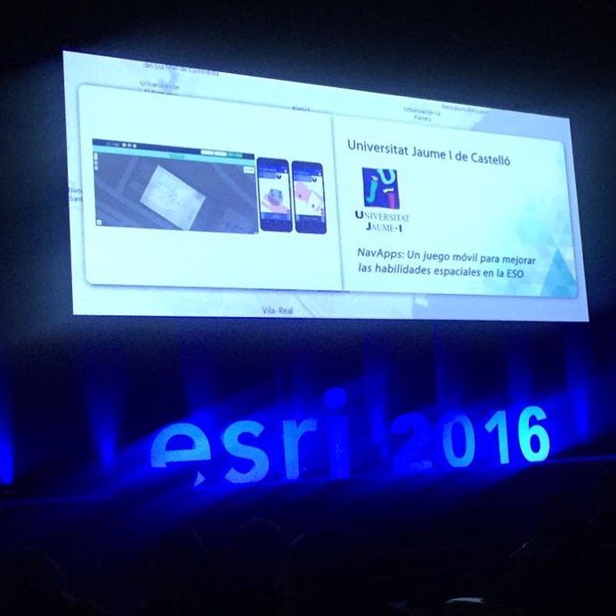
David Frias, who led the talks called, “NavApps: Un juego móvil para mejorar las habilidades espaciales en la ESO”, was the initial talk for GeoTec research group, Whom presented the process made for ENAbLE project. NavApps project is a geo-game with APP/Web application to improve the spatial skills of children from 12 to 16 years old, which is also part of ENAbLE project.
This project was presented in the plenary session such part of the Education track and latterly, he had a interview about NavApps project in order to engage more people to this interesting project.
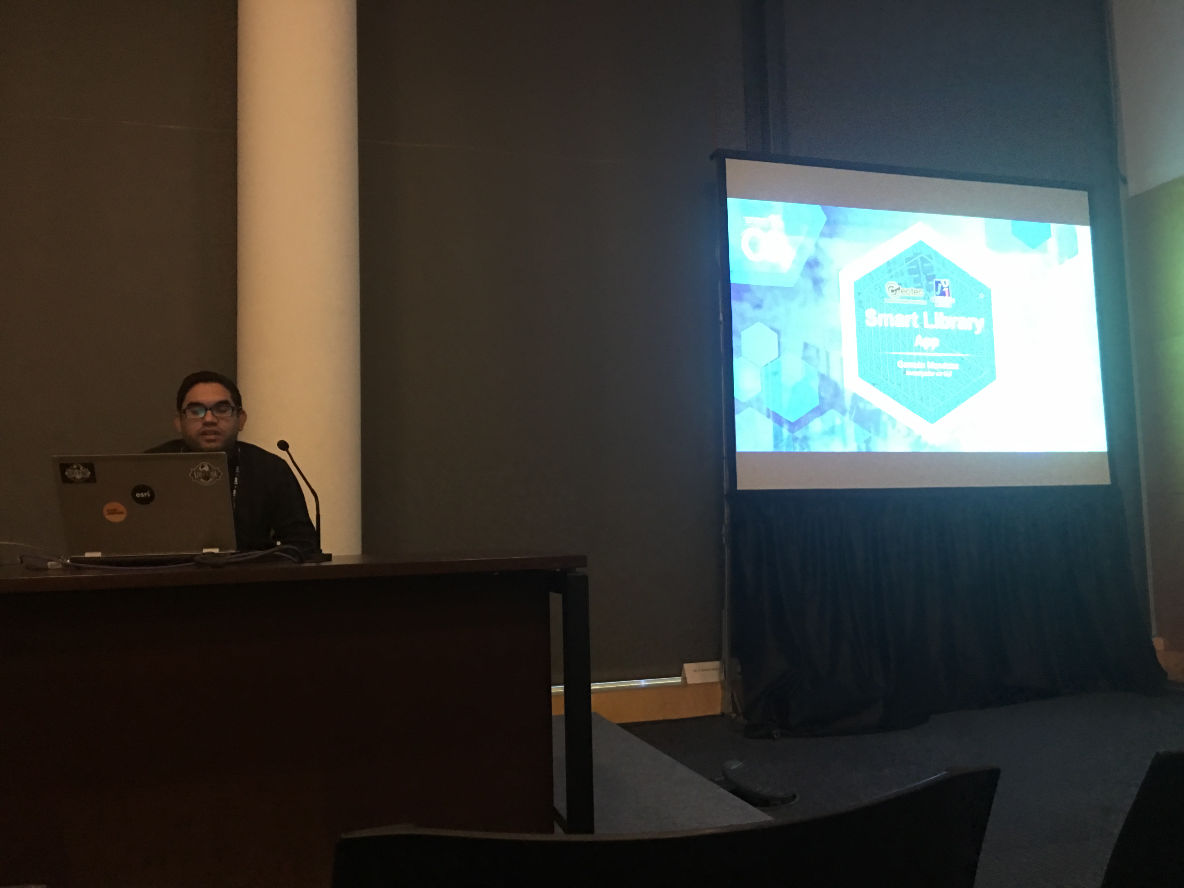
The GeoTec’s second talk was led by German Mendoza, a Phd Student who addressed the “UJI SmartLibrary“, which focused on using indoor positioning based on WiFi fingerprinting techniques to improve the guidance that a smartphone application provides to users that are searching for books in the UJI’s Library. He described the encountered challenges and their solutions.
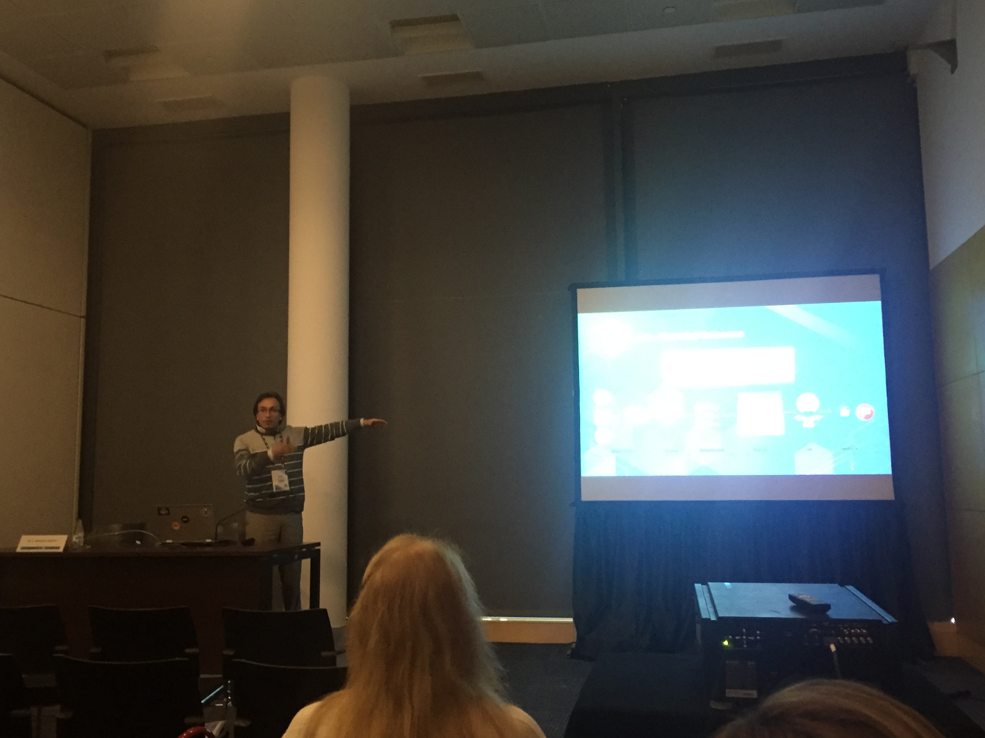
The third presenter was Dr Pr Francisco Ramos, who presented “Smart Beetles: los servicios de una smart city en un videojuego“. Using a funny and engaging talk, he attracted the audience’s attention trough 3D and spatial process, while introducing his current project Smart Beetles. Smart Beetles is a native 3D game to play with a beetle meanwhile clean your city and avoid humans been.
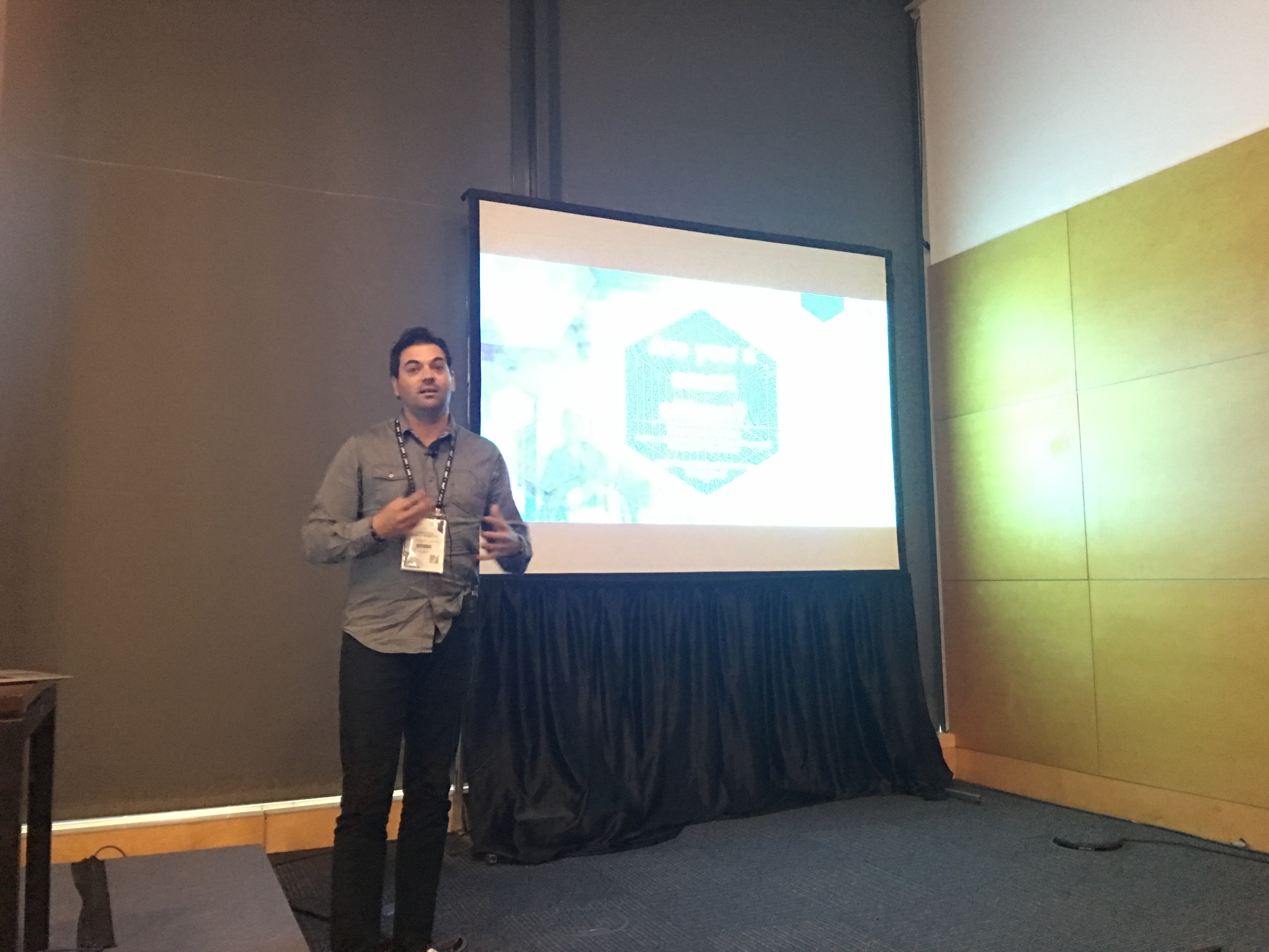
The last presented was, Phd Candidate Fernando Benitez, who presented Initiative CityData 3.0, “Estrategia para mejorar el uso y la búsqueda de información espacial abierta en las ciudades”. This talk addressed his current research, which is part of GeoC Project. During his presentation, the audience had the opportunity to know about GeoC project and its university reach, and the current progress of the Esr11 research topic. The aim of this research topic was called CityData 3.0 for meaningful geographic information for cities, related to study and improve the re-use and discovery level of available open data in cities.